
Waldweihergebiet im Postloher Forst, protected area in the European Union defined by the habitats directive in Bayern, Germany
Location: Cham
Location: Schwandorf
Inception: 2000
GPS coordinates: 49.27366,12.37153
Latest update: March 30, 2025 20:11
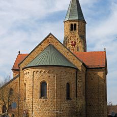
Mariä Namen
5.3 km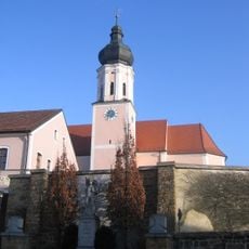
St. Michael
5.2 km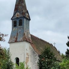
Taucherkapelle
3.1 km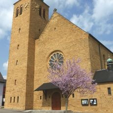
St. Barbara
4.9 km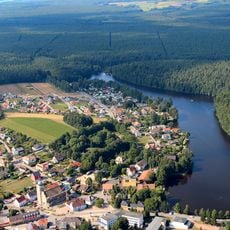
Burgstall Bodenwöhr
4.7 km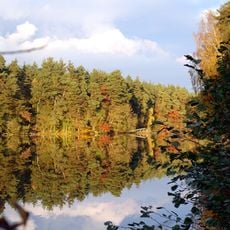
Weichselbrunner Weiher und Trockenkiefernwald bei Bodenwöhr
5.1 km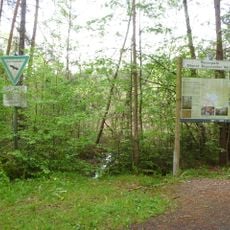
Neubäuer Weiher
5.2 km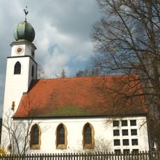
Bodenwöhr
4 km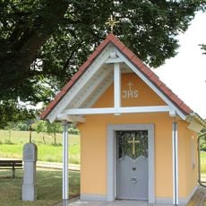
Feldkapelle
4.7 km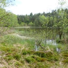
Neubäuer Weiher
5.2 km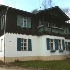
Ehemaliges Forstdienstgebäude
4.9 km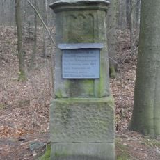
Gedenkstein zur Erinnerung an die bayerische Verfassungsgebung von 1818
4.7 km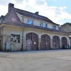
Einstellhalle
4.9 km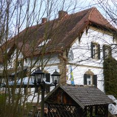
Ehemaliges Forstdienstgebäude
3.1 km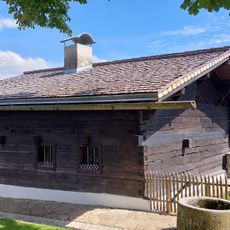
Ehemaliges Schulhaus, seit 1968 Schulmuseum
4.7 km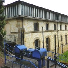
Magazinbau des früheren Eisenwerks
4.8 km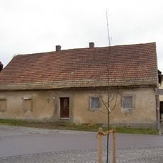
Bauernhof, Wohnstallhaus
5.2 km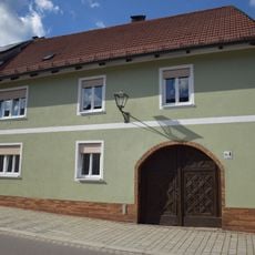
Hoftor
5.3 km
Ehemaliger Brauerei-Gasthof zum Rößl, heute Gasthaus Zur Post, Sitz des Postamtes 1852–1900
5.3 km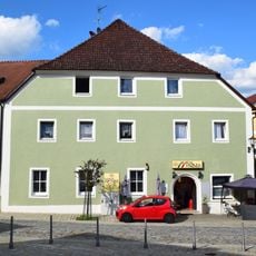
Ehemaliger Gasthof Zur Sonne
5.3 km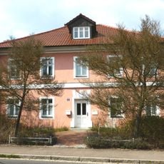
Ehemaliges Wohnhaus der Bayerischen Hütten- und Salinenwerke
5.2 km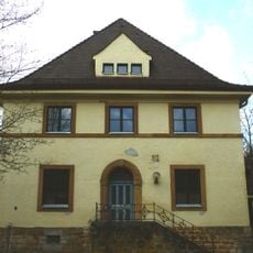
Ehemaliges Forstamtsgebäude
4.9 km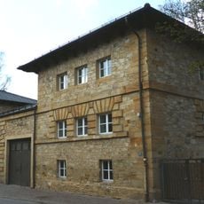
Ehemaliges Feingussmagazin mit Arbeiterwohnungen, zwischen 1913 und 1990 Feuerwehrhaus
4.8 km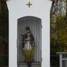
Figur des hl. Johannes von Nepomuk
4.8 km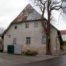
Wohnhaus
5.3 km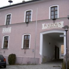
Ehemaliges Schulhaus
5.2 km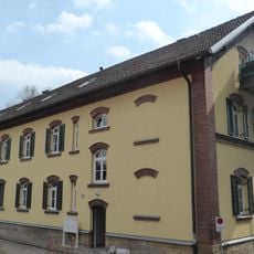
Zwei Arbeiterwohnhäuser der Bayerischen Hütten- und Salinenwerke
5.1 km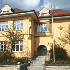
Alte Schule, heute Rathaus
5.2 kmReviews
Visited this place? Tap the stars to rate it and share your experience / photos with the community! Try now! You can cancel it anytime.
Discover hidden gems everywhere you go!
From secret cafés to breathtaking viewpoints, skip the crowded tourist spots and find places that match your style. Our app makes it easy with voice search, smart filtering, route optimization, and insider tips from travelers worldwide. Download now for the complete mobile experience.

A unique approach to discovering new places❞
— Le Figaro
All the places worth exploring❞
— France Info
A tailor-made excursion in just a few clicks❞
— 20 Minutes