Enable Location

We need your location to show you interesting places around you

Discover nearby places

Find interesting locations and hidden gems around you

Precise directions

Get accurate directions and distances to places

Your location is never shared with other users. It's only used when you tap the location button.

Cham

Log in to your account

Start exploring — it's free

Trusted by 61,663 travelers worldwide

Continue with Google
Continue with Apple
or

We will send you a code to connect

By continuing, you accept our Terms and Conditions and our Privacy Policy

Check your inbox

We've sent a pincode in your inbox. Please enter the code below.

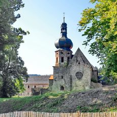
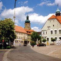
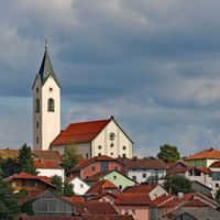
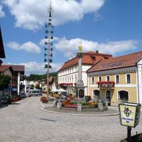
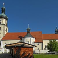
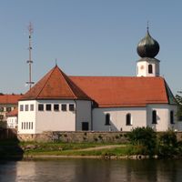
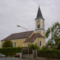
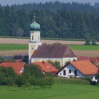
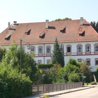
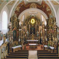
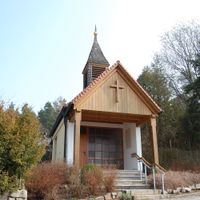
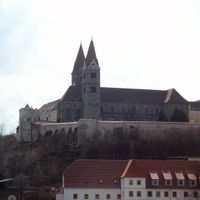
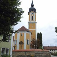
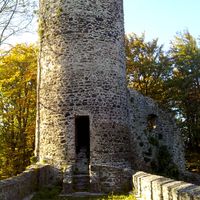
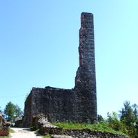
Cham, Administrative district in Upper Palatinate, Germany.

Description

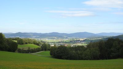
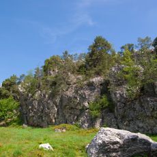
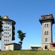
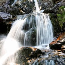
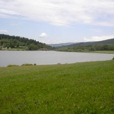
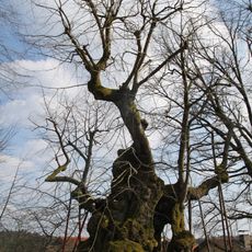
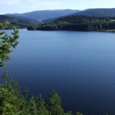
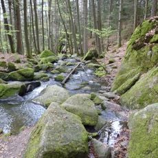
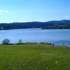
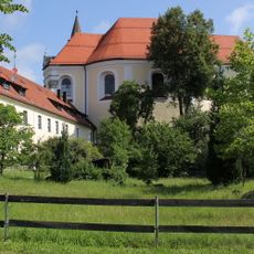
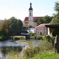
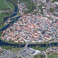
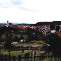
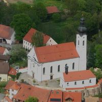
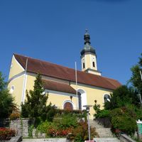
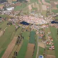
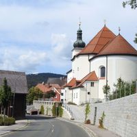
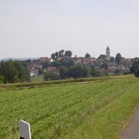
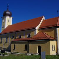
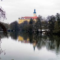
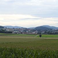
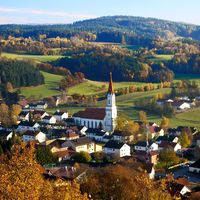
Cham district spreads across forested landscapes in eastern Bavaria, encompassing around 40 smaller municipalities with varied villages and rural settlements. The area features forests, gentle hills, and small waterways that connect the communities throughout the region.

History

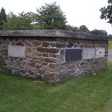
The administrative area was established in 1862 through a reorganization of Bavarian districts under King Maximilian II. This founding shaped the regional governance structure that continues to this day.

Culture

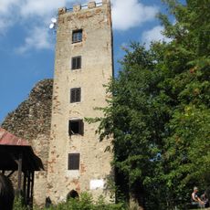
The area maintains close ties with neighboring Czech Republic through its position along historic trade routes that still shape daily life today. Local communities regularly exchange traditions and celebrate connections with neighbors across the border.

Practical

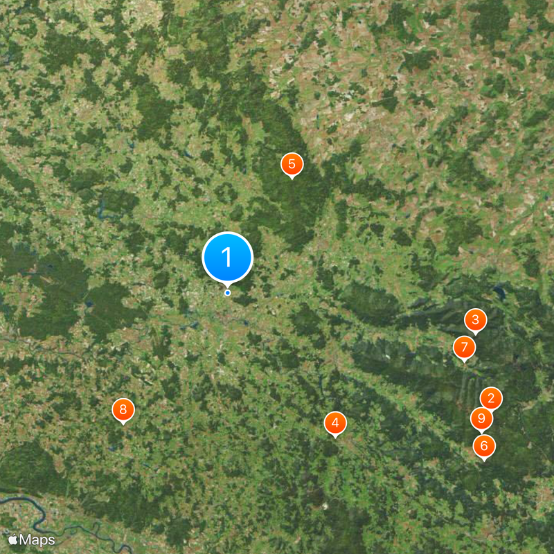
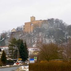
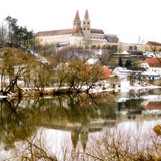
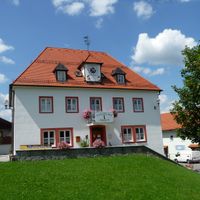
The district is characterized by small towns and villages well connected through local roads. Visitors should plan to travel by car, as settlements are spread out and public transportation options are limited in many areas.

Did you know?

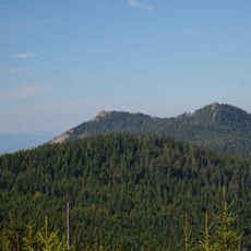
Within this area, three natural regions meet: the Upper Palatinate Forest, the Bavarian Forest, and the Cham-Further Basin. This convergence makes it a transition zone with distinctive ecological diversity.

Location
Inception
July 1, 1862
Capital city
Cham
Elevation above the sea
469 m
Shares border with
Schwandorf, Regensburg, Straubing-Bogen, Regen, Klatovy District, Domažlice District
GPS coordinates
49.25000,12.67000
Latest update
December 19, 2025 22:54

AroundUs brings together thousands of curated places, local tips, and hidden gems, enriched daily by 60,000 contributors worldwide. Discover all places nearby (Upper Palatinate).

« Cham - Administrative district in Upper Palatinate, Germany » is provided by Around Us (aroundus.com). Images and texts are derived from Wikimedia project under a Creative Commons license. You are allowed to copy, distribute, and modify copies of this page, under the conditions set by the license, as long as this note is clearly visible.

Discover hidden gems everywhere you go!

From secret cafés to breathtaking viewpoints, skip the crowded tourist spots and find places that match your style. Our app makes it easy with voice search, smart filtering, route optimization, and insider tips from travelers worldwide. Download now for the complete mobile experience.

Around Us App Screenshot

A unique approach to discovering new places

Le Figaro

All the places worth exploring

France Info

A tailor-made excursion in just a few clicks

20 Minutes

Around Us
Travel Guide & Maps
Download

Send to your phone

QR Code
1

Open the camera app on your mobile.

2

Point at the QR code with your camera. A notification will appear.

3

Tap the notification to open the link.