Neukirchen beim Heiligen Blut, market municipality of Germany
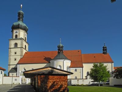
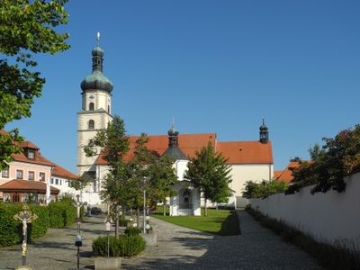
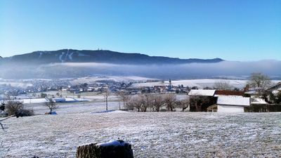
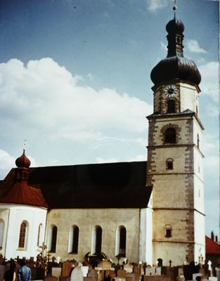
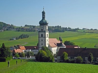
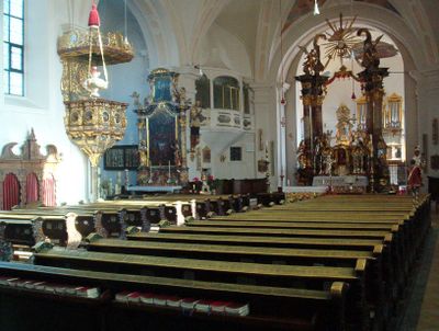
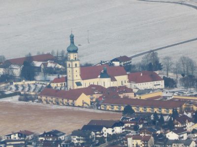
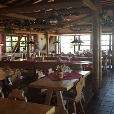
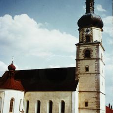
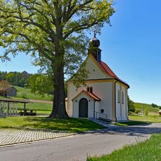
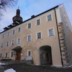
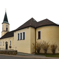
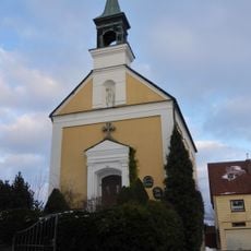
Neukirchen beim Heiligen Blut is a village in the Bavarian Forest, sitting at the foot of the Hohenbogen mountain in the Cham district. At its center stands a large pilgrimage church with a tall tower, surrounded by narrow streets and older buildings.
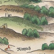
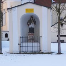
The settlement dates to the 14th century and was granted market rights early on, giving it a role as a local trading point. In 1422, a statue of Mary reportedly began to bleed, drawing pilgrims and setting the course for how the place would develop over the following centuries.
The name of the village refers directly to the pilgrimage church that still draws visitors from across the region. Walking through the streets, you can see how religious life shapes the rhythm of daily activity here.
The village is easy to walk through, and several marked trails lead into the surrounding countryside and up toward the mountain. Sturdy footwear is worth having if you plan to go beyond the village streets.
Near the village there is a spring said to have healing properties, and many visitors make a point of collecting its water. This habit connects the place to a wider tradition of healing springs found at pilgrimage sites across Europe.
The community of curious travelers
AroundUs brings together thousands of curated places, local tips, and hidden gems, enriched daily by 60,000 contributors worldwide.