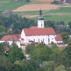
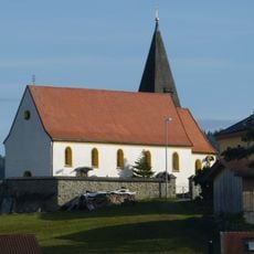
Geodetic Observatory Wettzell, Geodetic observatory on Wagnerberg mountain in Bavaria, Germany
The Geodetic Observatory Wettzell is a research facility operated by the Federal Agency for Cartography and Geodesy on Wagnerberg mountain in the Bavarian Forest. The center sits at about 616 meters elevation in Cham district and houses laser telescopes, radio telescopes, and satellite receivers for measuring Earth's dimensions and gravitational properties.
This facility opened in 1970 and was strategically placed near the Iron Curtain border to take advantage of its isolated location and minimal light pollution. The remote setting provided ideal conditions for satellite tracking and Earth measurement work.
The facility maintains international collaborations with research stations in Argentina and Antarctica while advancing global coordinate reference systems.
The site requires advance registration for visits since it remains an active research facility with restricted access. The best time to visit is during warmer months when mountain roads are easily passable and weather conditions are stable.
In 1973 the facility achieved Germany's first laser satellite measurement, establishing itself as a pioneer in geodetic technology. This achievement demonstrated that the remote location offered perfect conditions for conducting precision space measurements.
The community of curious travelers
AroundUs brings together thousands of curated places, local tips, and hidden gems, enriched daily by 60,000 contributors worldwide.