
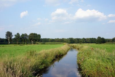
Delmetal zwischen Harpstedt und Delmenhorst, protected area in the European Union defined by the habitats directive in Niedersachsen, Germany
Location: Oldenburg
Inception: 1998
GPS coordinates: 52.97684,8.58345
Latest update: March 25, 2025 07:34
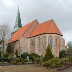
St. Cyprian und Cornelius
6.7 km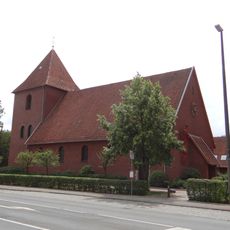
St. Christophorus
6.4 km
Ozeanbrücke
5.8 km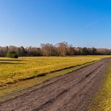
Große Höhe
1.2 km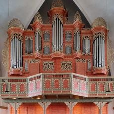
Organ in St. Cyprian-and Cornelius church
6.7 km
Zu den zwölf Aposteln
7.4 km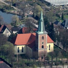
Christuskirche (Harpstedt)
7.6 km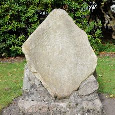
Sonnenstein von Harpstedt
7.5 km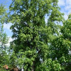
Tulpenbaum (Harpstedt)
7.5 km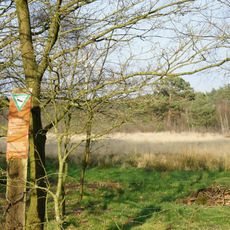
Wunderburger Moor
6.6 km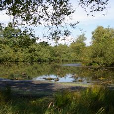
Lachmöwenkolonie Stelle
6.7 km
Backhäuser Am Heidenwall 9 und Bürsteler Straße 35
7 km
Sether Mühle
2.3 km
Harpstedter Geest
5.1 km
Hackfelds Dorfkrug
2.8 km
Pfarrhäuser Harpstedt
7.6 km
Hofanlage Bürsteler Straße 35
6.7 km
Scheune (Am Sportplatz)
2.3 km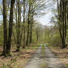
Stühe
7.5 km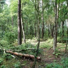
Das Moor
5.8 km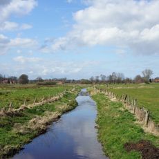
Dünsener Bach - Steller Heide (Landkreis Oldenburg)
3.5 km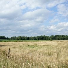
Delmetal
2.5 km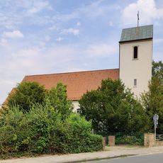
St. Hedwig
7.4 km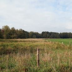
Südliches Delmetal
1.5 km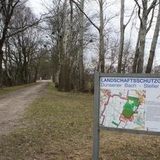
Dünsener Bach - Steller Heide (Landkreis Diepholz)
6.6 km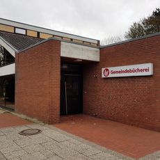
Gemeindebücherei Ganderkesee
7.1 km
Wiekhorn - Graftanlagen
6.8 km
Delmetal zwischen Harpstedt und Delmenhorst
2.2 kmVisited this place? Tap the stars to rate it and share your experience / photos with the community! Try now! You can cancel it anytime.
Discover hidden gems everywhere you go!
From secret cafés to breathtaking viewpoints, skip the crowded tourist spots and find places that match your style. Our app makes it easy with voice search, smart filtering, route optimization, and insider tips from travelers worldwide. Download now for the complete mobile experience.

A unique approach to discovering new places❞
— Le Figaro
All the places worth exploring❞
— France Info
A tailor-made excursion in just a few clicks❞
— 20 Minutes