
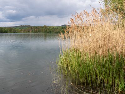
Täler von Oberem Main, Unterer Rodach und Steinach, special protection areas in Bayern, Germany
Location: Lichtenfels
Inception: 2006
GPS coordinates: 50.11560,11.17078
Latest update: March 7, 2025 07:22

Kreuzkapelle
1.1 km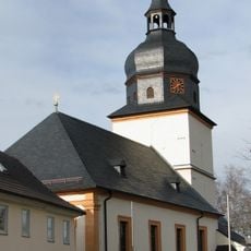
St. Johannes der Täufer
1.5 km
Bohnberg
829 m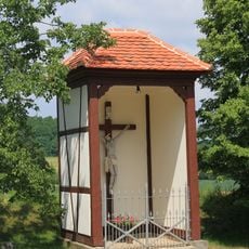
Wegkapelle
2.6 km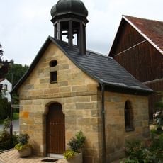
Ortskapelle
1.8 km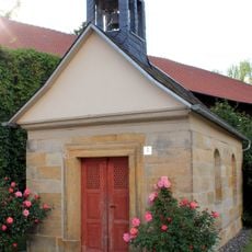
Kapelle
2.1 km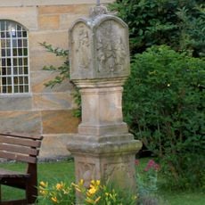
Bildstock
2.1 km
Bildstock
3 km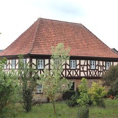
Wohnstallhaus
2.1 km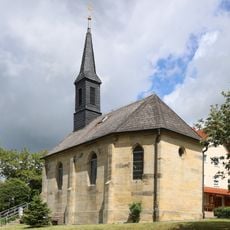
Katholisch
2 km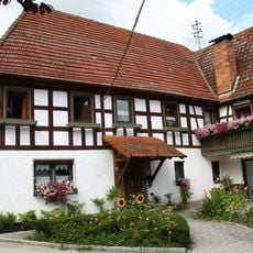
Wohnstallhaus
1.8 km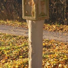
Bildstock
2.9 km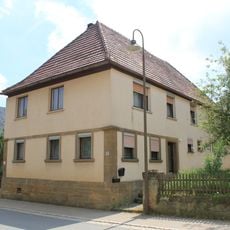
Wohnhaus
2.1 km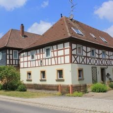
Cultural heritage D-4-78-111-40 in Altenkunstadt
2.1 km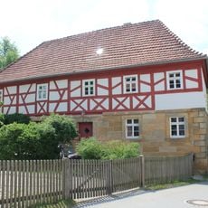
Cultural heritage D-4-78-111-36 in Altenkunstadt
2.3 km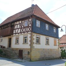
Cultural heritage D-4-78-111-37 in Altenkunstadt
2.4 km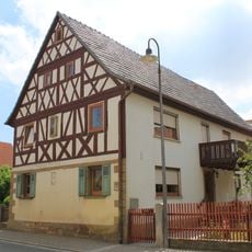
Cultural heritage D-4-78-111-38 in Altenkunstadt
2.1 km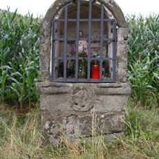
Bildstock
1.8 km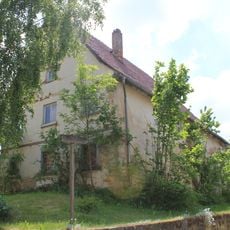
Cultural heritage D-4-78-111-102 in Altenkunstadt
2.3 km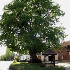
Tanzlinde
1.6 km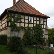
Wohnhaus
1.8 km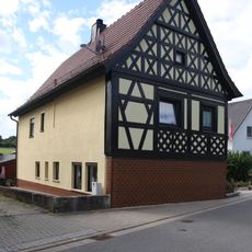
Wohnhaus
2.6 km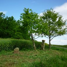
Bildstock
2.4 km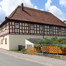
Wohnstallhaus
1.9 km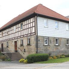
Wohnstallhaus
1.8 km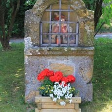
Bildstock
2.5 km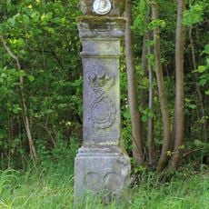
Bildstock
2.8 km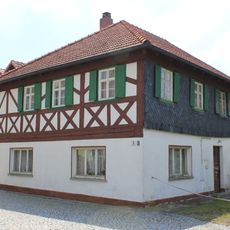
Cultural heritage D-4-78-111-35 in Altenkunstadt
2.3 kmReviews
Visited this place? Tap the stars to rate it and share your experience / photos with the community! Try now! You can cancel it anytime.
Discover hidden gems everywhere you go!
From secret cafés to breathtaking viewpoints, skip the crowded tourist spots and find places that match your style. Our app makes it easy with voice search, smart filtering, route optimization, and insider tips from travelers worldwide. Download now for the complete mobile experience.

A unique approach to discovering new places❞
— Le Figaro
All the places worth exploring❞
— France Info
A tailor-made excursion in just a few clicks❞
— 20 Minutes