
Truppenübungsplatz Hohenfels, special protection areas in Bayern, Germany
Location: Neumarkt
Inception: 2001
GPS coordinates: 49.26148,11.85985
Latest update: March 2, 2025 20:36
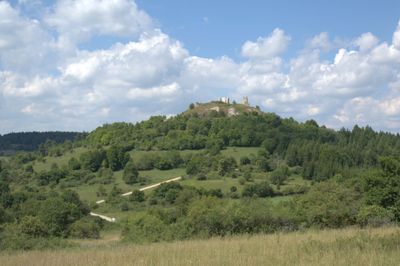
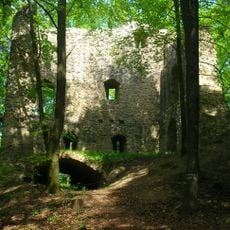
Burgruine Roßstein
5.4 km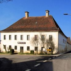
Schloss Winbuch
4 km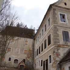
Pfleghof
5.7 km
Unteres Schloss Schmidmühlen
4.6 km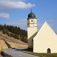
Wallfahrtskirche Mariä Heimsuchung
4.8 km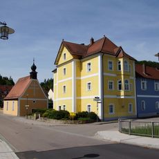
Zieglerschloss
4.3 km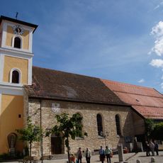
St. Ägidius
4.6 km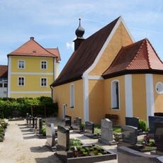
St. Georg
4.3 km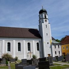
St. Peter
3.4 km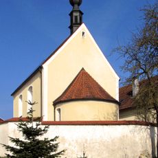
Schlosskapelle St. Bartholomäus
4 km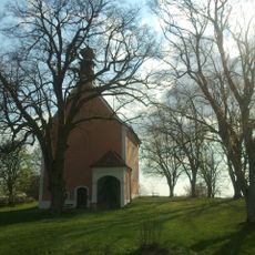
Katholische Kirche Heilige Dreifaltigkeit, Kreuzbergkirche
4.3 km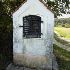
Kapellenbildstock Zum gegeißelten Heiland
5.7 km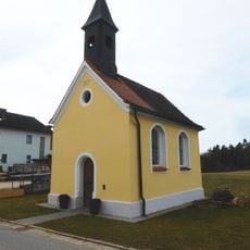
Dreifaltigkeitskapelle Egelsheim
5.6 km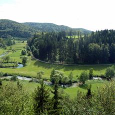
Kreisverordnung über den Schutz von Landschaftsteilen im Markt Hohenburg und in der Gemeinde Adertshausen des Landkreis Amberg
3.7 km
Lauterachtal und Vilstal (Westseite)
3.5 km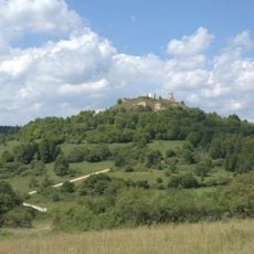
Lauterachtal
4.5 km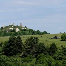
Truppenübungsplatz Hohenfels
3.4 km
Rathaus
5.7 km
Kapelle Kreuzberg, Zieglerweg 30 in Hohenfels (Oberpfalz)
4.2 km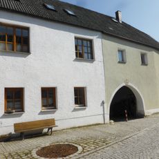
Hammerstraße 11-13
4.5 km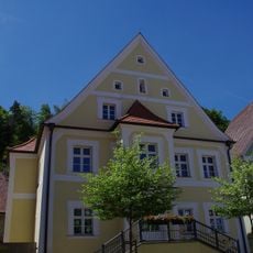
Kindergarten St. Jakobus
5.7 km
Wohnhaus
5.6 km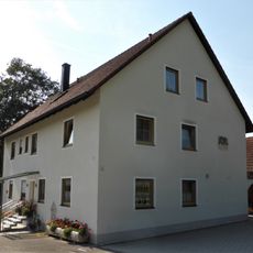
Brunnmühle 2
2.6 km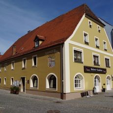
Brauereigasthaus Schmid
4.5 km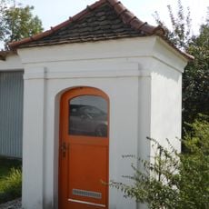
Marienkapelle
4.8 km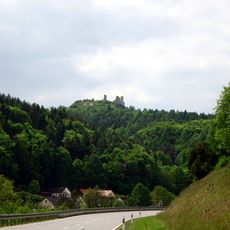
Fledermausquartiere um Hohenburg
5.7 km
Gasthof Alte Post
5.7 km
Ensemble Marktplatz
5.7 kmVisited this place? Tap the stars to rate it and share your experience / photos with the community! Try now! You can cancel it anytime.
Discover hidden gems everywhere you go!
From secret cafés to breathtaking viewpoints, skip the crowded tourist spots and find places that match your style. Our app makes it easy with voice search, smart filtering, route optimization, and insider tips from travelers worldwide. Download now for the complete mobile experience.

A unique approach to discovering new places❞
— Le Figaro
All the places worth exploring❞
— France Info
A tailor-made excursion in just a few clicks❞
— 20 Minutes