
Lausitzer Bergbaufolgelandschaft, special protection areas in Brandenburg, Germany
Location: Senftenberg
Location: Sallgast
Location: Plessa
Location: Lichterfeld-Schacksdorf
Location: Finsterwalde
Location: Lauchhammer
Inception: 2007
GPS coordinates: 51.60663,14.11429
Latest update: March 30, 2025 18:25
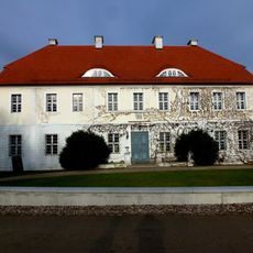
Gutshaus Geisendorf
5.2 km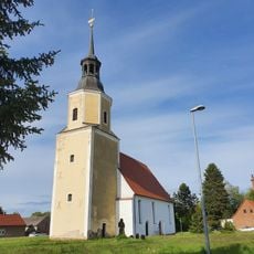
Village church Greifenhain
4.7 km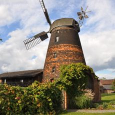
Windmill in Dörrwalde
4.7 km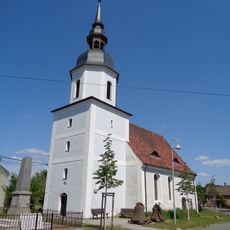
Dorfkirche Dörrwalde
4.2 km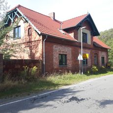
Zollhaus
1.9 km
Dorfkirche Allmosen
3.2 km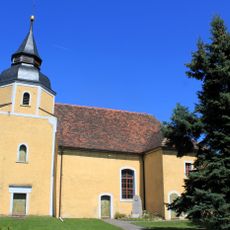
Dorfkirche Ressen
2.8 km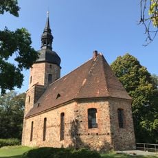
Dorfkirche Neupetershain-Nord
3.8 km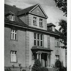
Wittmannstraße 31
3.4 km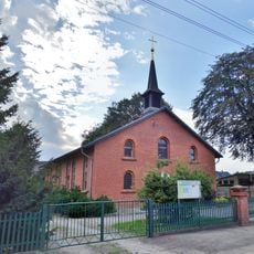
St.Joseph's church Welzow
5.3 km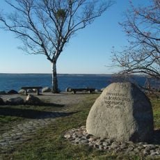
Gedenkstein für Sorno und Rosendorf
5.5 km
Rathaus Neupetershain
3.6 km
Naturdenkmal Rotbuche (Fagus sylvatica) Ortslage Leeskow, vor dem ehemaligen Gutshaus
1.6 km
Steinitzer Straße 2
3.7 km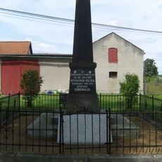
Kriegerdenkmal Dörrwalde
4.1 km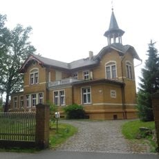
Spremberger Straße 2
3.6 km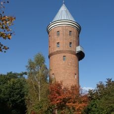
Wasserturm Neupetershain
3.5 km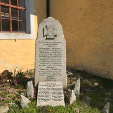
Kriegerdenkmal Ressen
2.8 km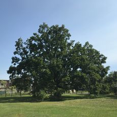
Naturdenkmal Stieleiche (Quercus robur) ca. 15 m südlich der Kirche in Neupetershain-Nord
3.8 km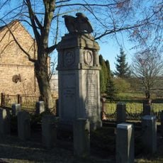
Kriegerdenkmal Bahnsdorf
2.9 km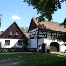
Lindenstraße 29
4.1 km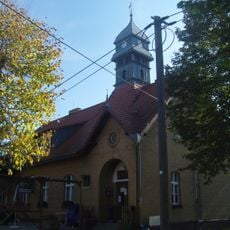
Woschkower Dorfstraße 26, Gasthaus und Schule
4.4 km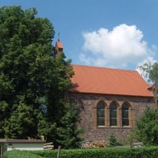
Naturdenkmal Winterlinde (Tilia cordata) am Eingang vor der Kirche, südlicher / rechte Baum in Allmosen
3.2 km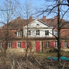
Herrenhaus Kunersdorf
2.7 km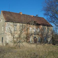
Herrenhaus Leeskow
1.6 km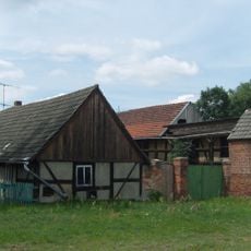
Cottbuser Straße 1
4.2 km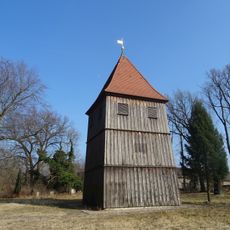
Glockenturm Pritzen
5.1 km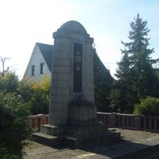
Kriegerdenkmal Erster Weltkrieg in Woschkow
4.5 kmReviews
Visited this place? Tap the stars to rate it and share your experience / photos with the community! Try now! You can cancel it anytime.
Discover hidden gems everywhere you go!
From secret cafés to breathtaking viewpoints, skip the crowded tourist spots and find places that match your style. Our app makes it easy with voice search, smart filtering, route optimization, and insider tips from travelers worldwide. Download now for the complete mobile experience.

A unique approach to discovering new places❞
— Le Figaro
All the places worth exploring❞
— France Info
A tailor-made excursion in just a few clicks❞
— 20 Minutes