
Seifersdorfer Tal, protected landscape in Sachsen, Germany
Location: Bautzen District
Location: Dresden
Inception: 1960
GPS coordinates: 51.15570,13.86160
Latest update: March 9, 2025 07:58
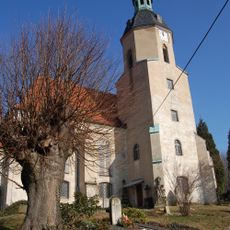
Kirche Seifersdorf
1.4 km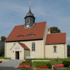
Dorfkirche Schönborn
918 m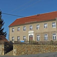
Alte Schule mit Fachwerkschuppen Kirchgasse 3
1.4 km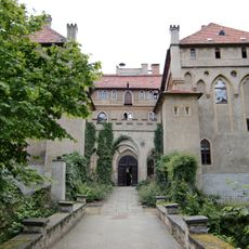
Seifersdorf manor, palace and palace park (property) Tina-von-Brühl-Straße 31, 33 (Wachauer Straße 1)
1.5 km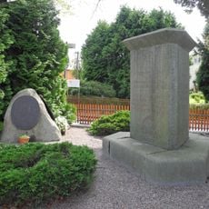
Denkmal Dresden-Schönborn
973 m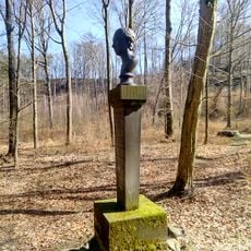
12 monuments and three bridges over the Röder (part north of the Röder, Seifersdorf district) (in the Seifersdorf valley)
1.4 km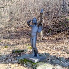
Angel with hourglasses
1.3 km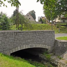
Bogenbrücke über den Roten Graben Lausaer Straße
1.4 km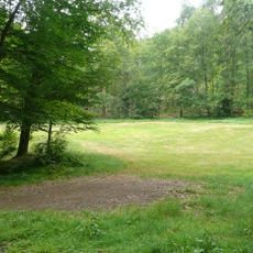
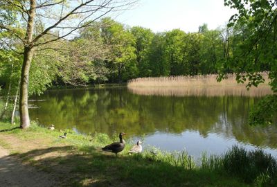
Seifersdorfer Tal
1.5 km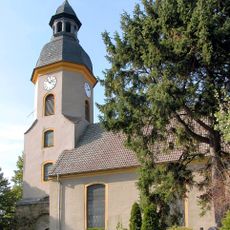
Kirche Grünberg
1.5 km
Herder-Memorial
1.2 km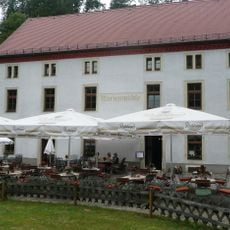
Marienmühle im Seifersdorfer Tal
1.5 km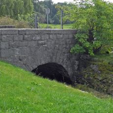
Bogenbrücke über den Roten Graben Schönborner Straße
1.3 km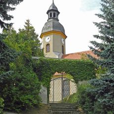
Kirche und Kirchhof Grünberg; ein Grabmal, umgebende Einfriedungsmauer und zwei Kirchhofstore Lausaer Straße
1.5 km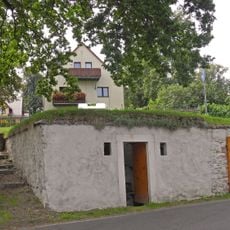
Bergkeller mit zwei Eingängen Lausaer Straße
1.5 km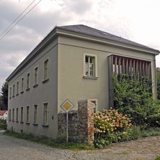
Pfarrhaus, Reste der Einfriedungsmauer mit Tor sowie Pfarrgarten Langebrücker Straße 2
1.5 km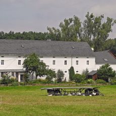
Wohnstallhaus Prof.-Nagel-Straße 14
1.5 km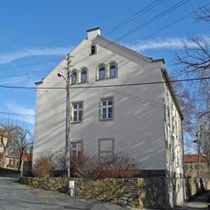
Rectory with barn Kirchgasse 5
1.4 km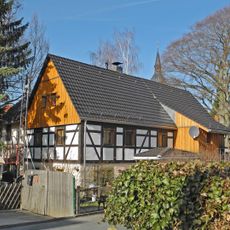
Residential building Tina-von-Brühl-Straße 21
1.4 km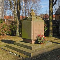
Memorial to the Fallen of the First World War Tina-von-Brühl-Straße 21 (next to)
1.4 km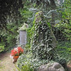
Denkmale für Gefallenen des Ersten und Zweiten Weltkrieges Lausaer Straße
1.5 km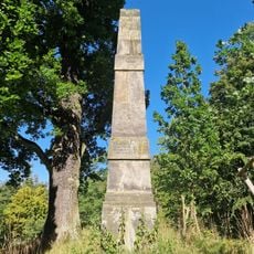
Obelisk in Seifersdorf valley
1.6 km
Gasthof „Zum treuen Hund“ Schönborner Weg 1
1.6 km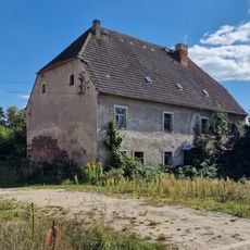
Herrenhaus (Einzeldenkmal zu ID-Nr. 09301961) Tina-von-Brühl-Straße 31
1.5 km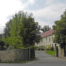
Wohnstallhaus (Nr. 8), Seitengebäude (Nr. 8a) und Scheune eines Dreiseithofes sowie Einfriedungsmauer Langebrücker Straße 8, 8a
1.3 km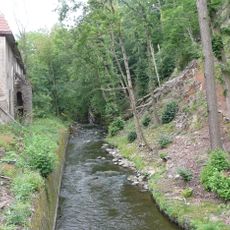
Three buildings of the former Niedermühle Seifersdorfer Tal 6, 6a, 6b
927 m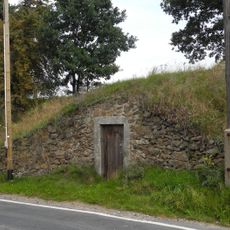
Bergkeller Schönborner Straße
1.2 km
Murder and expiation cross settlement (northwest of the village, corner Tina- von-Brühl-Straße)
1.3 kmReviews
Visited this place? Tap the stars to rate it and share your experience / photos with the community! Try now! You can cancel it anytime.
Discover hidden gems everywhere you go!
From secret cafés to breathtaking viewpoints, skip the crowded tourist spots and find places that match your style. Our app makes it easy with voice search, smart filtering, route optimization, and insider tips from travelers worldwide. Download now for the complete mobile experience.

A unique approach to discovering new places❞
— Le Figaro
All the places worth exploring❞
— France Info
A tailor-made excursion in just a few clicks❞
— 20 Minutes