
Hohenleipisch-Sornoer-Altmoränenlandschaft, protected area in Germany
Location: Elbe-Elster District
Inception: May 21, 1996
GPS coordinates: 51.52871,13.57567
Latest update: March 8, 2025 01:48
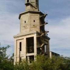
Bertzit Tower
6.1 km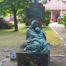
Mutter und Kind
3.3 km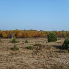
Forsthaus Prösa
4.3 km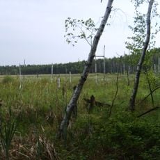
Der Loben
2.3 km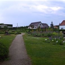
Kräutergarten Oppelhain
2.9 km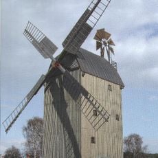
Paltrockwindmühle Oppelhain
2.9 km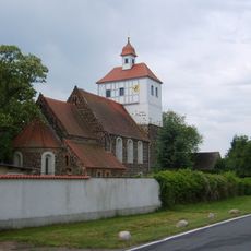
Dorfkirche Friedersdorf (Rückersdorf)
4.7 km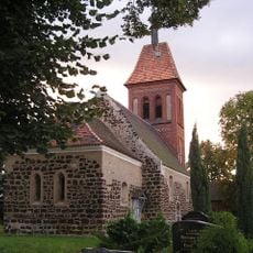
Dorfkirche Gruhno
5.8 km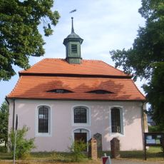
Dorfkirche (Döllingen)
5 km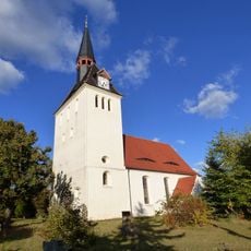
Dorfkirche Hohenleipisch
3.8 km
Suden bei Gorden
6 km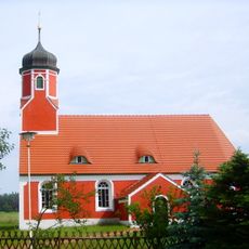
Dorfkirche Rückersdorf
4.7 km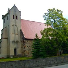
Dorfkirche Oppelhain
3 km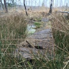
Hohenleipisch
667 m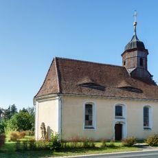
Dorfkirche Gorden
3.4 km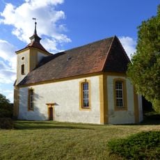
Dorfkirche (Dreska)
5.4 km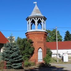
Glockenturm Kraupa
6.1 km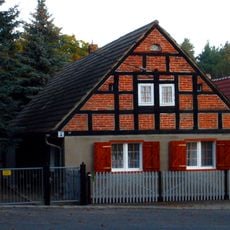
Wohnhaus Dorfstraße 23
6.1 km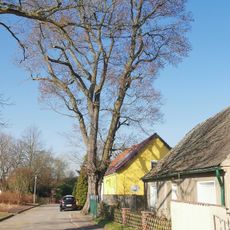
Naturdenkmal Bergulme
5 km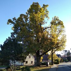
Naturdenkmal Linde vor dem Denkmal Dorfstraße; Flur 1, Flurstück 8 in Kraupa
6.1 km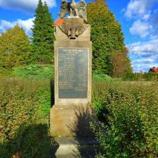
Gefallenendenkmal Dreska
5.5 km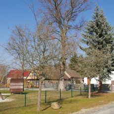
Naturdenkmal Bergulme am Kinderspielplatz in Dreska
5.3 km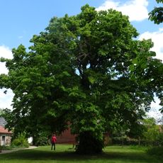
Naturdenkmal Linde auf dem Kirchhof; Flur 2, Flurstück 61 in Friedersdorf
4.6 km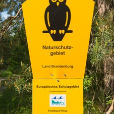
Forsthaus Prösa
4.4 km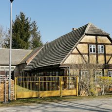
Dorfplatz 8
5.3 km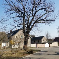
Naturdenkmal Stieleiche
5 km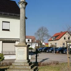
Kriegerdenkmal Einigungskriege
3.8 km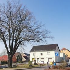
Naturdenkmal Stieleiche Dresdener Straße; Flur 1, Flurstück 109/11 in Hohenleipisch
3.8 kmVisited this place? Tap the stars to rate it and share your experience / photos with the community! Try now! You can cancel it anytime.
Discover hidden gems everywhere you go!
From secret cafés to breathtaking viewpoints, skip the crowded tourist spots and find places that match your style. Our app makes it easy with voice search, smart filtering, route optimization, and insider tips from travelers worldwide. Download now for the complete mobile experience.

A unique approach to discovering new places❞
— Le Figaro
All the places worth exploring❞
— France Info
A tailor-made excursion in just a few clicks❞
— 20 Minutes