
Park- und Wiesenlandschaft Schorbus, protected area in Germany
Location: Spree-Neiße District
Inception: May 1, 1968
GPS coordinates: 51.68720,14.26181
Latest update: March 30, 2025 16:06
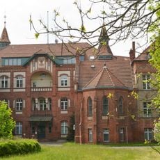
Klinikum Kolkwitz
5.5 km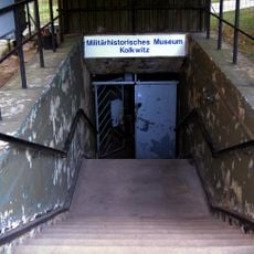
Kolkwitz Bunker
5.7 km
Schiebell-Grundschule
4.3 km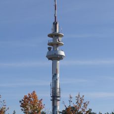
Fernmeldeturm Cottbus
6.6 km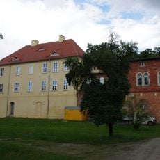
Schloss Drebkau
4.4 km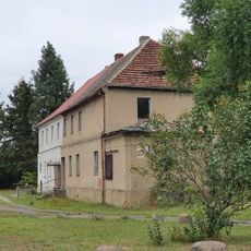
Gutshaus Laubst
2.6 km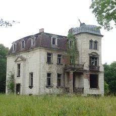
Schloss Raakow
5.6 km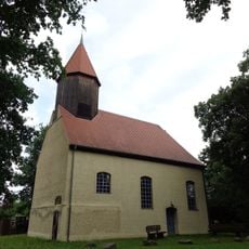
Village church Illmersdorf
6 km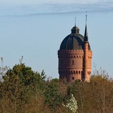
Wasserturm Sachsendorf
5.6 km
Annahof
3.1 km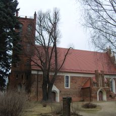
Village church Leuthen
1.5 km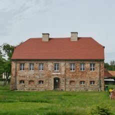
Pfarrhaus, Pücklerweg 1
6.3 km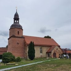
Village church Laubst
2.6 km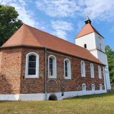
Village church Klein Döbbern
6.2 km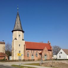
Village church Hänchen
4.4 km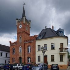
Rathaus Drebkau
4.3 km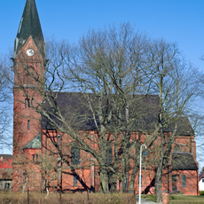
Dorfkirche Groß Gaglow
5.2 km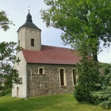
Village church Groß Döbbern
6.2 km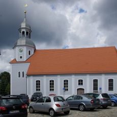
Town church Drebkau
4.3 km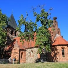
Village church Schorbus
636 m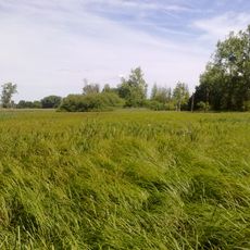
Schnepfenried
6.1 km
Fuchsberg
6 km
JumpUp TrampolinPark Cottbus
4.8 km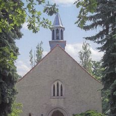
St.Paul's church Drebkau
5 km![Naturdenkmal [[Eichen|Eiche]]-[[Stieleiche]] (''Quercus robur'') Zielona‑Gora‑Straße,Nähe Hausnummer 19 in Sachsendorf](https://img5.digsty.com/4PouRCjVsUSkUIs9krhURrfRMKWkTeTNy2hayeex5uA/rs:fill:230:230:1/g:fp:0.5:0.5/czM6Ly9hcm91bmR1cy8xNC83MTMwMTc0LWQ4NDE0ZGFiLmpwZw.jpg)
Naturdenkmal [[Eichen|Eiche]]-[[Stieleiche]] (''Quercus robur'') Zielona‑Gora‑Straße,Nähe Hausnummer 19 in Sachsendorf
6.1 km
Dorfanger 25
6.3 km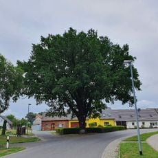
Naturdenkmal Stieleiche Dorfanger am Gedenkstein in Laubst
2.7 km
Ringstraße 54
6.2 kmReviews
Visited this place? Tap the stars to rate it and share your experience / photos with the community! Try now! You can cancel it anytime.
Discover hidden gems everywhere you go!
From secret cafés to breathtaking viewpoints, skip the crowded tourist spots and find places that match your style. Our app makes it easy with voice search, smart filtering, route optimization, and insider tips from travelers worldwide. Download now for the complete mobile experience.

A unique approach to discovering new places❞
— Le Figaro
All the places worth exploring❞
— France Info
A tailor-made excursion in just a few clicks❞
— 20 Minutes