
Strausberger und Blumenthaler Wald- und Seengebiet, protected area in Germany
Location: Märkisch-Oderland District
Inception: January 12, 1965
GPS coordinates: 52.59209,13.88251
Latest update: March 30, 2025 18:48
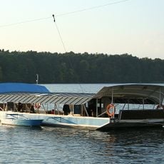
Straussee Ferry
1.2 km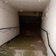
Bunker Strausberg
2.6 km
Schloss Wilkendorf
2.3 km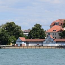
Städtische Badeanstalt Strausberg
1.9 km
Strausberg Bunker
5.2 km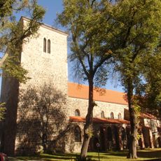
St. Mary's church Strausberg
1.3 km
Gladowshöhe
6 km
Postbruch
4.5 km
Jenseits des Sees
1.4 km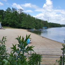
Strandbad Bötzsee
5.2 km
Heidekrug
6.5 km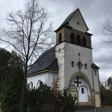
St. Joseph's church Strausberg
2.3 km
Friedrich-Schiller-Höhe
238 m
Village church Klosterdorf (Oberbarnim)
4.6 km
Dorfkirche Wilkendorf
2.9 km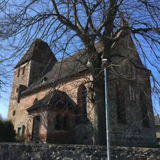
Village church in Buchholz
6.3 km
Steuerhaus
4.5 km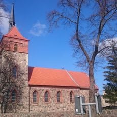
Village church Wesendahl
4.8 km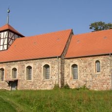
Village church in Gielsdorf
2.1 km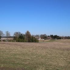
Provinzialsiedlung
3.2 km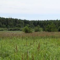
Zimmersee
6 km
Camp Heidekrug
6.5 km
Heimatmuseum Strausberg
2.3 km
Heinrich-Mann-Bibliothek / Stadtbibliothek Strausberg
1.3 km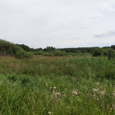
Zimmersee
6 km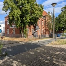
Kulturhaus Strausberg
869 m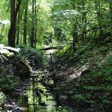
Annafließ
3.6 km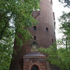
Wasserturm Strausberg
3.7 kmReviews
Visited this place? Tap the stars to rate it and share your experience / photos with the community! Try now! You can cancel it anytime.
Discover hidden gems everywhere you go!
From secret cafés to breathtaking viewpoints, skip the crowded tourist spots and find places that match your style. Our app makes it easy with voice search, smart filtering, route optimization, and insider tips from travelers worldwide. Download now for the complete mobile experience.

A unique approach to discovering new places❞
— Le Figaro
All the places worth exploring❞
— France Info
A tailor-made excursion in just a few clicks❞
— 20 Minutes