
Bruchgebiet am Järdelbeck, protected landscape in Lower Saxony, Germany
Location: Rotenburg (Wümme)
Inception: 1939
GPS coordinates: 53.36400,9.28769
Latest update: March 31, 2025 01:44
Kloster Zeven
7.5 km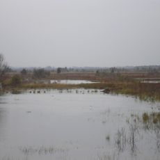
Huvenhoopsmoor
12.4 km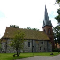
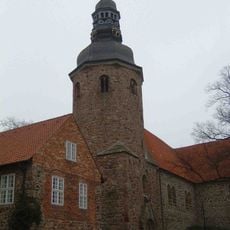
St. Vitus
6.4 km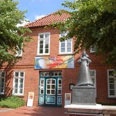
Christinenhaus (Zeven)
7.7 km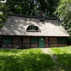
Walkmühle Ohrensen
15.9 km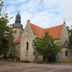
St. Viti-Kirche
7.5 km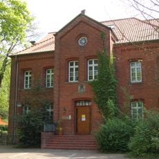
Altes Gefängnis
7.4 km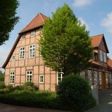
Alte Posthalterei
7.7 km
Kirche Ahlerstedt
12 km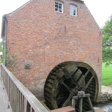
Wassermühle Bademühlen
8.8 km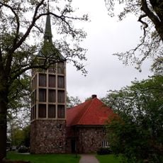
St. Primus
15 km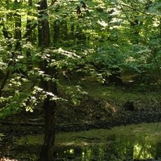
Braken, Harselah, Kahles und Wildes Moor
15.1 km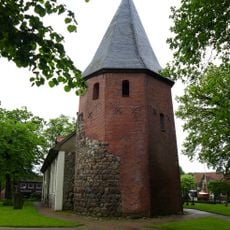
St. Lambertikirche
5 km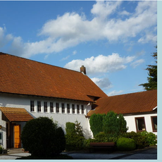
Christ-König-Kirche
8.9 km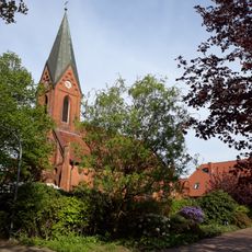
Kirche Farven
8.3 km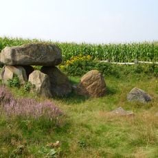
Großsteingrab Badenstedt
12.3 km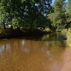
Ostetal mit Nebenbächen
6.2 km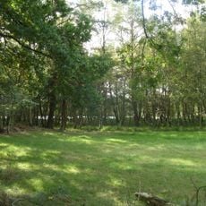
Bullensee und Hemelsmoor
14.5 km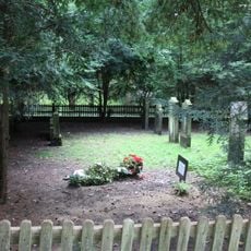
Jewish cemetery, Zeven
7.5 km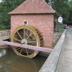
Eitzter Mühle
6.7 km
Altenburg
11.6 km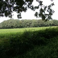
Im Tadel
9.9 km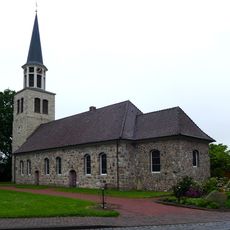
Allerheiligenkirche
14.2 km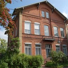
Landvolkhaus Zeven
7.5 km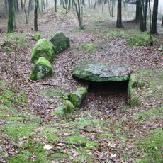
Großsteingrab Kakerbeck
12.8 km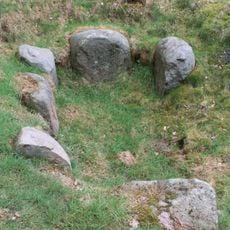
Großsteingrab Godenstedt
6.4 km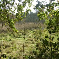
Bullensee, Hemelsmoor
14.5 km
Braken
14.3 kmReviews
Visited this place? Tap the stars to rate it and share your experience / photos with the community! Try now! You can cancel it anytime.
Discover hidden gems everywhere you go!
From secret cafés to breathtaking viewpoints, skip the crowded tourist spots and find places that match your style. Our app makes it easy with voice search, smart filtering, route optimization, and insider tips from travelers worldwide. Download now for the complete mobile experience.

A unique approach to discovering new places❞
— Le Figaro
All the places worth exploring❞
— France Info
A tailor-made excursion in just a few clicks❞
— 20 Minutes