
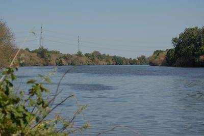
Naturschutzgebiet Hochheimer Mainufer, protected area in Germany
Location: Hochheim am Main
Inception: 1991
GPS coordinates: 50.00228,8.37631
Latest update: March 4, 2025 10:14
Mainz-Bischofsheim station
1.7 km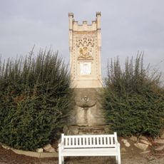
Königin-Victoria-Denkmal
93 m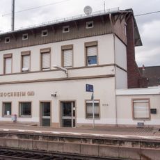
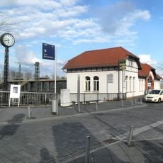
Hochheim station
1.9 km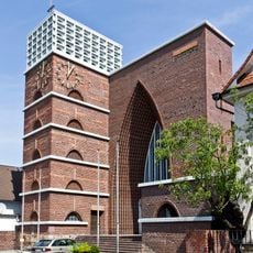
Christkönig
1.8 km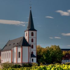
St. Peter und Paul (Hochheim am Main)
1.8 km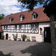
Wiesenmühle
1.5 km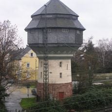
Bischofsheim water tower
1.7 km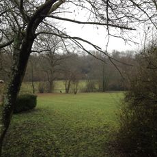
Jüdischer Friedhof
1.5 km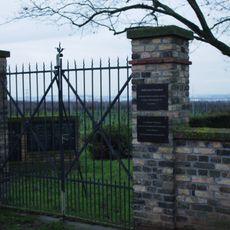
Jüdischer Friedhof
781 m
Eisenbaum
1.7 km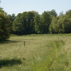
Wickerbachaue von Flörsheim und Hochheim
1.6 km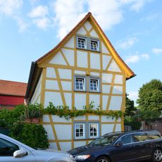
Hintergasse 44
1.9 km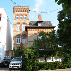
Elektrizitätswerk Flörsheimer Straße 2
1.9 km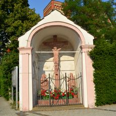
Kapelle und Kreuzigungsgruppe
1.9 km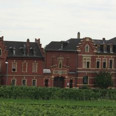
Bahnhofstraße 2
1.8 km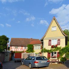
Hintergasse 50
1.9 km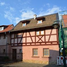
Hintergasse 20
1.9 km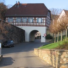
Küsterhaus
1.9 km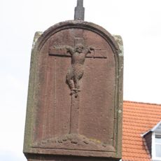
Bildstock
1.7 km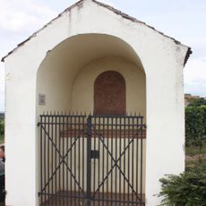
Sandsteinrelief
1.6 km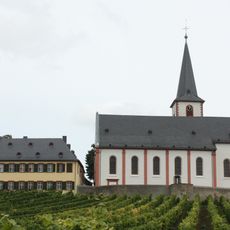
Ehemalige Domdechaney
1.9 km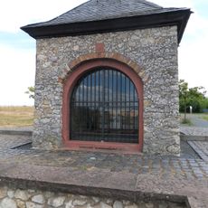
Annakapelle
1.5 km
Mainweg 7
1.8 km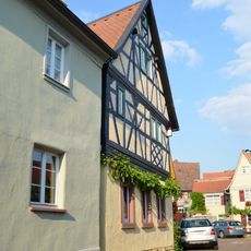
Hintergasse 42
1.9 km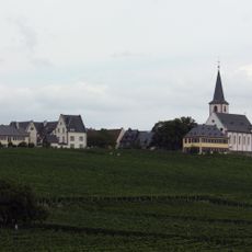
Gesamtanlage Hochheim
1.8 km
Keramag, Ehemalige Sektkellerei Falkenberg
1.6 km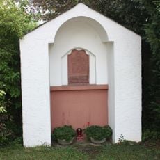
Sandsteinrelief
1.3 km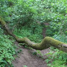
Falkenberg und Geißberg bei Flörsheim
1.8 kmReviews
Visited this place? Tap the stars to rate it and share your experience / photos with the community! Try now! You can cancel it anytime.
Discover hidden gems everywhere you go!
From secret cafés to breathtaking viewpoints, skip the crowded tourist spots and find places that match your style. Our app makes it easy with voice search, smart filtering, route optimization, and insider tips from travelers worldwide. Download now for the complete mobile experience.

A unique approach to discovering new places❞
— Le Figaro
All the places worth exploring❞
— France Info
A tailor-made excursion in just a few clicks❞
— 20 Minutes