
Totenberg, protected area in Germany
Location: Allendorf (Lumda)
Location: Staufenberg
Inception: 1964
GPS coordinates: 50.67168,8.79100
Latest update: March 14, 2025 15:39

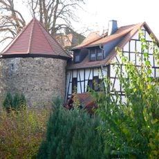
Treis Castle (Staufenberg)
528 m
Evangelische Kirche Allendorf (Lumda)
2.4 km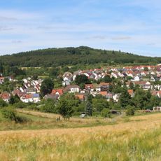
Toten Berg
724 m
Burg Ellhaus
573 m
Evangelical Church
2.3 km
Evangelical Church
625 m
Zionskirche (Allendorf/Lumda)
2.6 km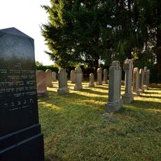
Jüdischer Friedhof Allendorf
2.7 km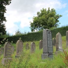
Jüdischer Friedhof Treis an der Lumda
699 m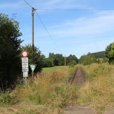
Naturschutzgebiet Lumdatal bei Allendorf
3.2 km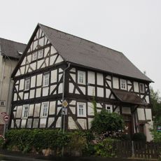
Treiser Straße 2
3.6 km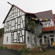
Treiser Straße 32
3.4 km
Allendorf
2.2 km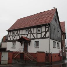
Treiser Straße 1
3.6 km
Daubringer Straße 16
3.6 km
Treiser Straße 4
3.6 km
Treiser Straße 13
3.5 km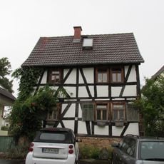
Treiser Straße 28
3.5 km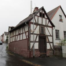
Backhaus
3.4 km
Treis an der Lumda - Weinbergstraße 6
727 m
Gesamtanlage historischer Ortskern
649 m
Bahnhofstraße 17
740 m
Bahnhof Treis an der Lumda
656 m
Treis an der Lumda - Hohlstraße 9
649 m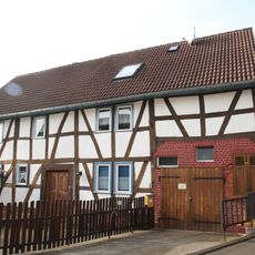
Treis an der Lumda - Weinbergstraße 4
723 m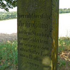
Gedenkstein
3.6 km
Bahnhof Mainzlar
3.6 km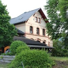
Bahnhof an der Bahnstrecke Londorf-Lollar
2.4 kmReviews
Visited this place? Tap the stars to rate it and share your experience / photos with the community! Try now! You can cancel it anytime.
Discover hidden gems everywhere you go!
From secret cafés to breathtaking viewpoints, skip the crowded tourist spots and find places that match your style. Our app makes it easy with voice search, smart filtering, route optimization, and insider tips from travelers worldwide. Download now for the complete mobile experience.

A unique approach to discovering new places❞
— Le Figaro
All the places worth exploring❞
— France Info
A tailor-made excursion in just a few clicks❞
— 20 Minutes