
Norddeister, protected landscape in Lower Saxony, Germany
Location: Hanover region
Inception: 1994
GPS coordinates: 52.26900,9.51889
Latest update: March 3, 2025 03:41
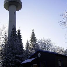
Anna-Tower
2.6 km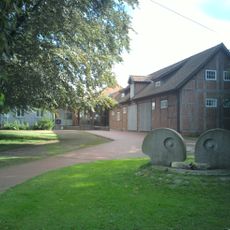
Amtsgericht Wennigsen
3.3 km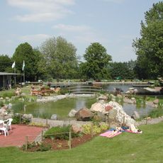
Wasserpark Wennigsen
2.6 km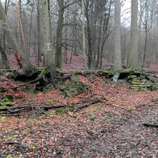
König-Wilhelm-Stollen
518 m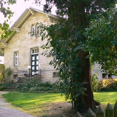
Georgsplatz
569 m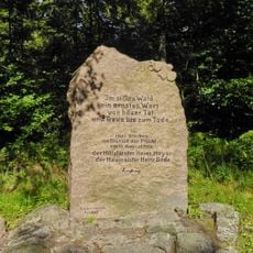
Försterdenkmal
2.6 km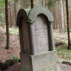
Eltendenkmal
2.3 km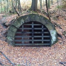
Egestorfer Stollen
1.5 km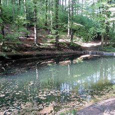
Blanke-Teich
1.3 km
Köllnischfeld
2.8 km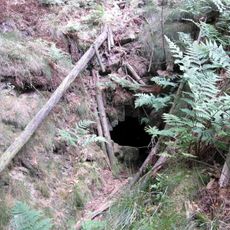
Oberer Feldbergstollen im Deister
1.8 km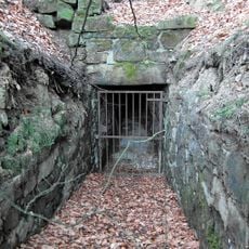
Oberer Sürsserbrinker Stollen
2.1 km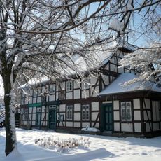
Heimatmuseum Wennigsen
3.1 km
Untergut
2.4 km
Obergut
2 km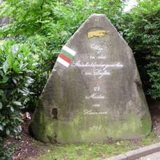
Dicker Stein
3.3 km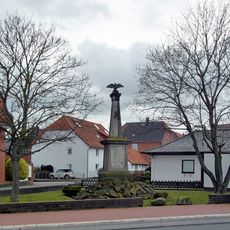
Kriegerdenkmal
2.7 km
Reichseiche
2.8 km
Mittelmühle Wennigsen
3.4 km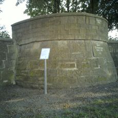
Scharnhorstdenkmal Wennigsen
2.9 km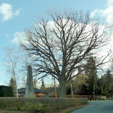
Kriegerdenkmal
1.5 km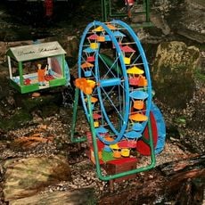
Wennigser Wasserräder
1.3 km
Ziegeneiche
2.5 km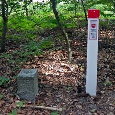
Hohe Warte
2.7 km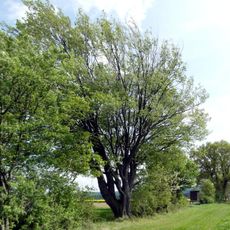
Langreder Mark
1.9 km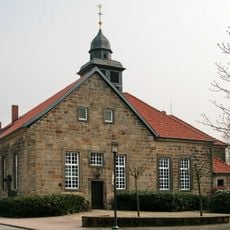
Christuskirche
2.2 km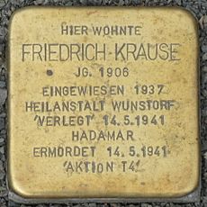
Stolperstein dedicated to Friedrich Krause
3.2 km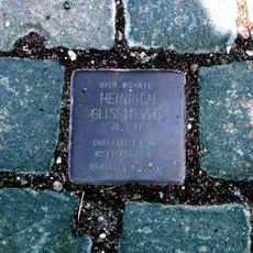
Stolperstein dedicated to Heinrich Glissmeyer
2.3 kmReviews
Visited this place? Tap the stars to rate it and share your experience / photos with the community! Try now! You can cancel it anytime.
Discover hidden gems everywhere you go!
From secret cafés to breathtaking viewpoints, skip the crowded tourist spots and find places that match your style. Our app makes it easy with voice search, smart filtering, route optimization, and insider tips from travelers worldwide. Download now for the complete mobile experience.

A unique approach to discovering new places❞
— Le Figaro
All the places worth exploring❞
— France Info
A tailor-made excursion in just a few clicks❞
— 20 Minutes