
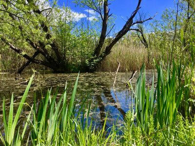
Obere Leine, protected landscape in Hanover, Lower Saxony, Germany
Location: Hanover region
Inception: 1992
Part of: Obere Leine
GPS coordinates: 52.33490,9.74840
Latest update: March 2, 2025 23:52
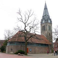
St.-Petri-Kirche (Hannover-Döhren)
898 m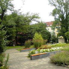
Döhrener Friedhof
1.1 km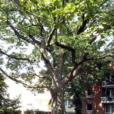
Eiche Wiehbergstraße 10
1 km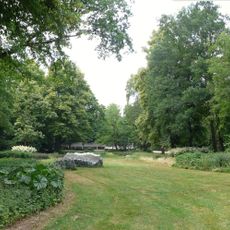
Staudengrund am Maschsee
979 m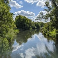
Döhrener Maschpark
627 m
Wolle-Widder
940 m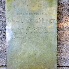
Grave slab Johann Ludewig Mehmet von Königstreu
880 m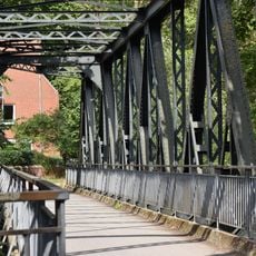
Johann-Duve-Weg
820 m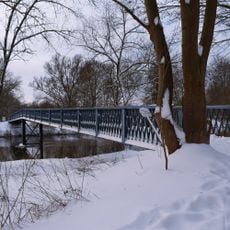
Blaue Brücke
557 m
Wichmannstraße 21, Hannover
1.1 km
Am Uhrturm 2, Hannover
992 m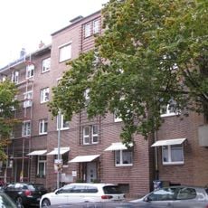
Landwehrstraße 78, Hannover
918 m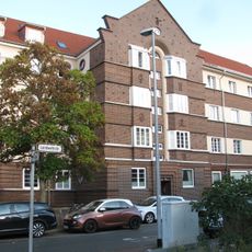
Landwehrstraße 48, Hannover
1 km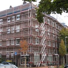
Landwehrstraße 76, Hannover
916 m
Wichmannstraße 22, Hannover
1.1 km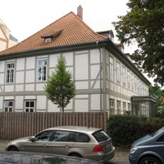
Reichhelmstraße 5, Hannover
828 m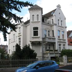
Weststraße 6, Hannover
865 m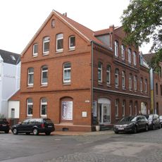
Weststraße 2, Hannover
888 m
Am Uhrturm 1, Hannover
1 km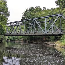
Einsiedlerbrücke
750 m
Landwehrstraße 46, Hannover
1 km
Landwehrstraße 44, Hannover
1 km
Landwehrstraße 42, Hannover
1 km
Landwehrstraße 40, Hannover
1 km
Landwehrstraße 75, Hannover
877 m
Landwehrstraße 77, Hannover
887 m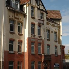
Pagenstraße 2, Hannover
1.1 km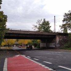
Eisenbahnbrücke Schützenallee
995 mReviews
Visited this place? Tap the stars to rate it and share your experience / photos with the community! Try now! You can cancel it anytime.
Discover hidden gems everywhere you go!
From secret cafés to breathtaking viewpoints, skip the crowded tourist spots and find places that match your style. Our app makes it easy with voice search, smart filtering, route optimization, and insider tips from travelers worldwide. Download now for the complete mobile experience.

A unique approach to discovering new places❞
— Le Figaro
All the places worth exploring❞
— France Info
A tailor-made excursion in just a few clicks❞
— 20 Minutes