Oterser Dünen, protected landscape in Lower Saxony, Germany
Location: Verden
Inception: 1938
GPS coordinates: 52.85530,9.34062
Latest update: October 31, 2025 03:21
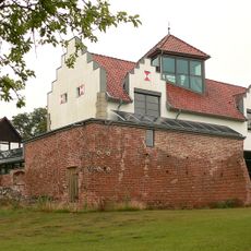
Burg Rethem
8.4 km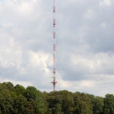
Sender Verden
6.5 km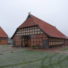
Ehmken Hoff
7.8 km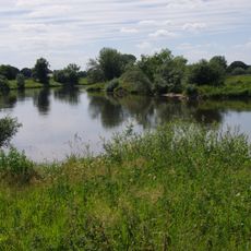
Allerschleifen zwischen Wohlendorf und Hülsen
6.5 km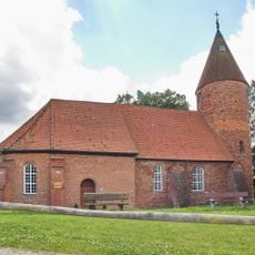
St.-Annen-Kirche (Westen)
2.8 km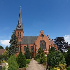
St. Jakobikirche
781 m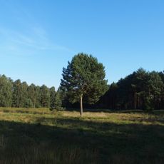
Hühnermoor (Lüneburg)
8.3 km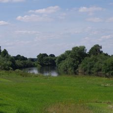
Untere Allerniederung im Landkreis Verden
7.2 km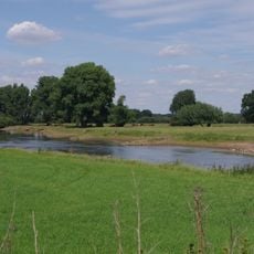
Allerniederung bei Klein Häuslingen
5.2 km
Marienkirche
8.2 km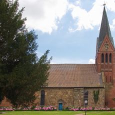
St. Cosmae et Damiani
8 km
Campingplatz am Landwehrsee
8.3 km
Stolperstein dedicated to Amalie Mautner
4 km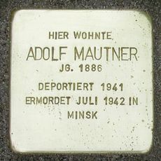
Stolperstein dedicated to Adolf Mautner
4 km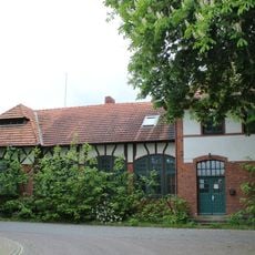
Empfangsgebäude
8.5 km
Kulturgut Ehmken-Hoff
7.8 km
Windmühle Westen
3.1 km
Windmühle Dahnken
7.3 km
Eitzer Wassermühle
7.1 km
Work of art
7.8 km
Memorial, war memorial
3.1 km
Gefallenendenkmal
7.8 km
Mahnmal
4.4 km
Memorial
8.2 km
Memorial, war memorial
3.7 km
Memorial
6 km
Memorial
7.9 km
Hügelgrab im Diensthoper Forst
7.6 kmReviews
Visited this place? Tap the stars to rate it and share your experience / photos with the community! Try now! You can cancel it anytime.
Discover hidden gems everywhere you go!
From secret cafés to breathtaking viewpoints, skip the crowded tourist spots and find places that match your style. Our app makes it easy with voice search, smart filtering, route optimization, and insider tips from travelers worldwide. Download now for the complete mobile experience.

A unique approach to discovering new places❞
— Le Figaro
All the places worth exploring❞
— France Info
A tailor-made excursion in just a few clicks❞
— 20 Minutes