
Rote Riede, protected landscape in Lower Saxony, Germany
Location: Diepholz
Inception: 1992
GPS coordinates: 52.79320,8.67226
Latest update: June 10, 2025 22:13
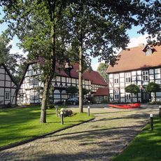
Burg Freudenberg
6.4 km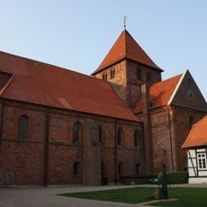
Stiftskirche St. Mauritius und St. Viktor
6.7 km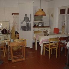
Museum der Strohverarbeitung
2.6 km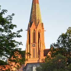
St. Anna (Twistringen)
2.3 km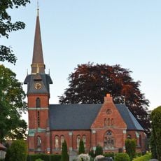
Martin-Luther-Kirche
2 km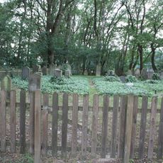
Jüdischer Friedhof Twistringen
2.9 km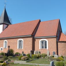
St. Katharinen-Kirche
5.6 km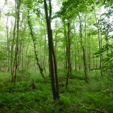
Bruchwald bei Ehrenburg
4.8 km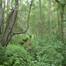
Geestmoor-Klosterbachtal
3.7 km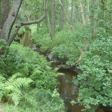
Geestmoor-Klosterbachtal und Schlattbeeke
4.3 km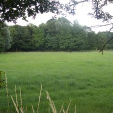
Garbeeke
5.1 km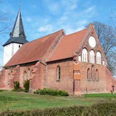
St. Nicolai (Schmalförden)
5.9 km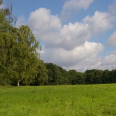
Schlattbeeke
2.5 km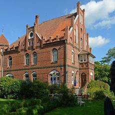
Wohnhaus Grabhorststraße 32
4.6 km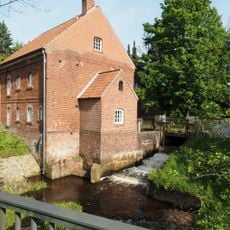
Stiftsmühle Bassum
6.6 km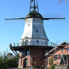
Windmühle Wedehorn
2.6 km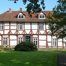
Burgmannshof Bassum
6.3 km
Amtshof Bassum
6.5 km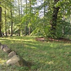
Thingstätte Bassum
6.4 km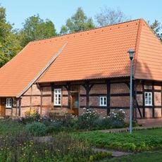
Wirtschaftsgebäude Amtsfreiheit 13
6.4 km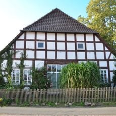
Wohn- und Wirtschaftsgebäude Am Kirchhof 4
6.7 km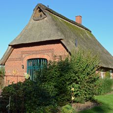
Häuslingshaus Wedehorn 10b
3.3 km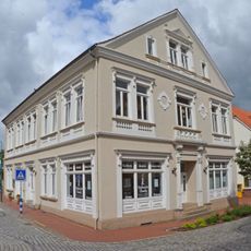
Wohn- und Geschäftshaus Bahnhofstraße 6
2.3 km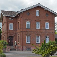
Wohnhaus Wildeshäuser Straße 1
2.8 km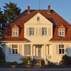
Villa Harpstedter Straße 22
2.6 km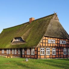
Wohn- und Wirtschaftsgebäude Borwede 1
2.6 km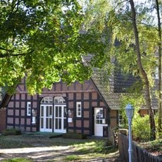
Wohn- und Wirtschaftsgebäude Feldstraße 6
6.7 km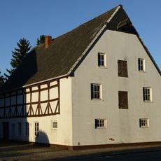
Speicher Steller Straße 21
2.1 kmReviews
Visited this place? Tap the stars to rate it and share your experience / photos with the community! Try now! You can cancel it anytime.
Discover hidden gems everywhere you go!
From secret cafés to breathtaking viewpoints, skip the crowded tourist spots and find places that match your style. Our app makes it easy with voice search, smart filtering, route optimization, and insider tips from travelers worldwide. Download now for the complete mobile experience.

A unique approach to discovering new places❞
— Le Figaro
All the places worth exploring❞
— France Info
A tailor-made excursion in just a few clicks❞
— 20 Minutes