
Unbenutzter Weg in Leerhafe, protected landscape in Lower Saxony, Germany
Location: Wittmund
Inception: 1941
GPS coordinates: 53.55810,7.78601
Latest update: March 4, 2025 10:55
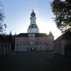
Schloss Jever
7.9 km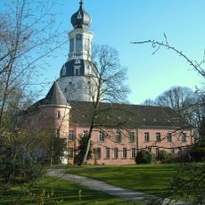
Schlossmuseum Jever
7.9 km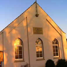
Baptist church in Jever
7.6 km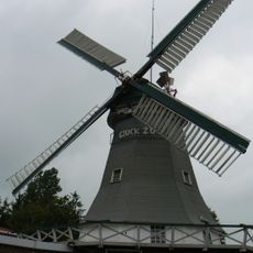
Peldemühle
2.8 km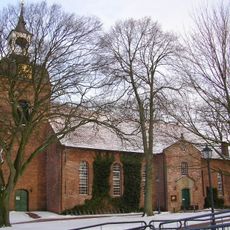
St. Nicolaikirche (Wittmund)
2 km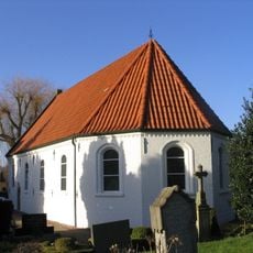
Saint Anne Chapel (Jever)
7.4 km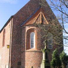
Protestant Church (Wiefels)
7.1 km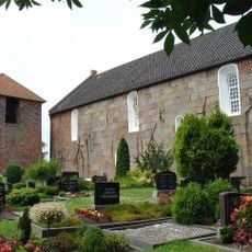
Buttforde Church
8.1 km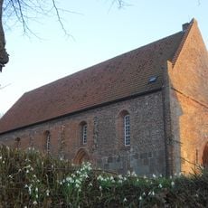
Cäcilien- und Margarethenkirche
3.2 km
St.-Dionysii-Kirche
3.2 km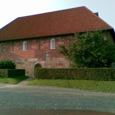
Ardorf Protestant Church
6.9 km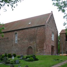
Funnix church
8.1 km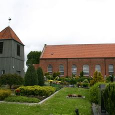
St. Florian
3.2 km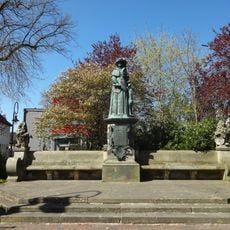
Fräulein-Maria-Denkmal
7.9 km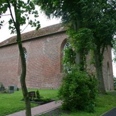
St.-Georg-Kirche
3 km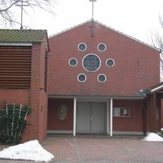
St. Bonifatius
2.3 km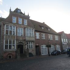
Rathaus Jever
7.8 km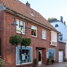
GröschlerHaus
7.6 km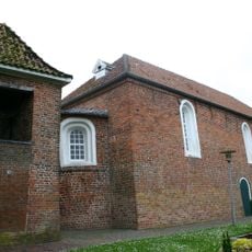
Blersum Church
5.4 km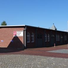
Feuerwehrmuseum Jever
7.1 km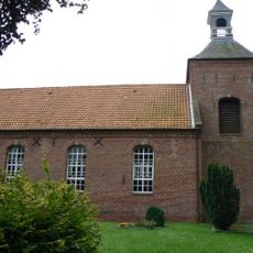
Berdum church
8.1 km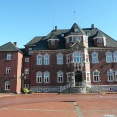
Kreishaus Wittmund
1.9 km
Hügelgräber bei Rispel
6.1 km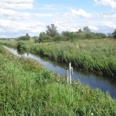
Süder Tief
3.1 km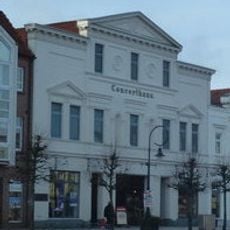
Concerthaus Jever
8 km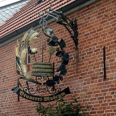
Brauereimuseum Jever
7.9 km
Schloßgarten
7.9 km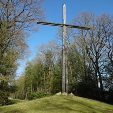
Mahnmal Upschloot
5.7 kmReviews
Visited this place? Tap the stars to rate it and share your experience / photos with the community! Try now! You can cancel it anytime.
Discover hidden gems everywhere you go!
From secret cafés to breathtaking viewpoints, skip the crowded tourist spots and find places that match your style. Our app makes it easy with voice search, smart filtering, route optimization, and insider tips from travelers worldwide. Download now for the complete mobile experience.

A unique approach to discovering new places❞
— Le Figaro
All the places worth exploring❞
— France Info
A tailor-made excursion in just a few clicks❞
— 20 Minutes