
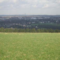
Leyerbachtal, nature reserve in Germany
Location: Remscheid
Inception: 2003
GPS coordinates: 51.20096,7.21235
Latest update: September 20, 2025 04:30
Brodtberg
1.8 km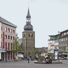
Evangelische Stadtkirche Remscheid
2.6 km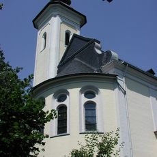
Heilig-Kreuz-Kirche
1.9 km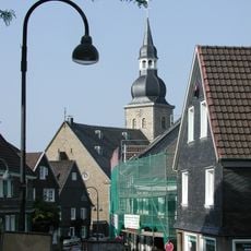
Protestant Church (Lüttringhausen)
1.8 km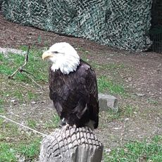
Falknerei Bergisch Land
1.4 km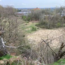
Steinbruchgelände Hohenhagen
2.3 km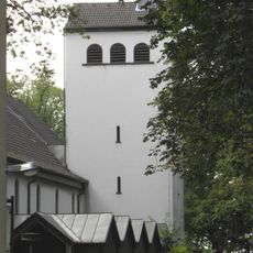
Saint Mary Church (Remscheid)
2.7 km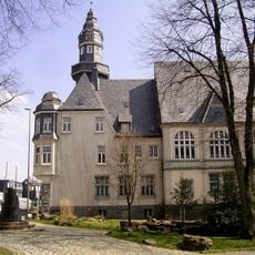
Rathaus Lüttringhausen
2.1 km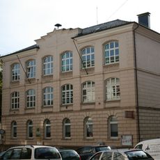
Preußische Bandwirkerschule
2.7 km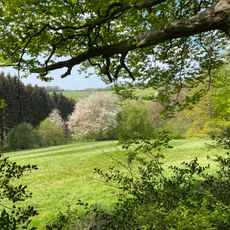
Farrenbracker Bachtal
937 m
Dörpfeldstraße 28
2.6 km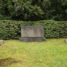
Jüdischer Friedhof Remscheid-Lüttringhausen
1.8 km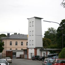
Steigerturm Ronsdorf
2.7 km
Heidt 14
2.5 km
Kottsiepen 32/34
2.4 km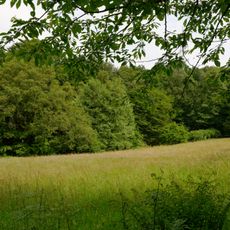
Oelingrather und Grunder Bachtal
2.1 km
Remscheider Straße 43 (Wuppertal)
2.7 km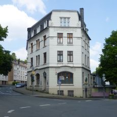
Remscheider Straße 47
2.7 km
Remscheider Straße 97 (Wuppertal)
2.3 km
Remscheider Straße 45
2.7 km
Talsperrenstraße 51
2.7 km
Remscheider Straße 95 (Wuppertal)
2.3 km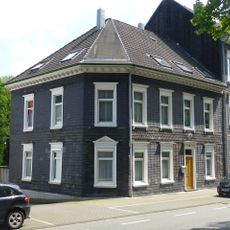
Remscheider Straße 93 (Wuppertal)
2.4 km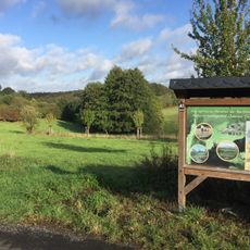
Oberer Teufelsbachtal
1.6 km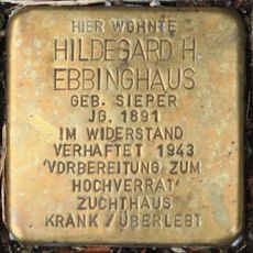
Stolperstein dedicated to Hildegard Helene Ebbinghaus
2.7 km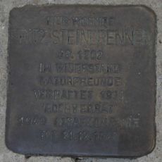
Stolperstein dedicated to Fritz Steinbrenner
2.7 km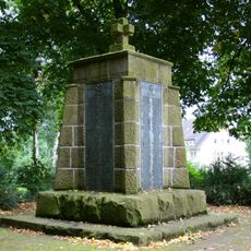
Denkmal für die Opfer des Ersten Weltkrieges
2.6 km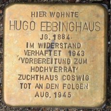
Stolperstein dedicated to Hugo Ebbinghaus
2.7 kmReviews
Visited this place? Tap the stars to rate it and share your experience / photos with the community! Try now! You can cancel it anytime.
Discover hidden gems everywhere you go!
From secret cafés to breathtaking viewpoints, skip the crowded tourist spots and find places that match your style. Our app makes it easy with voice search, smart filtering, route optimization, and insider tips from travelers worldwide. Download now for the complete mobile experience.

A unique approach to discovering new places❞
— Le Figaro
All the places worth exploring❞
— France Info
A tailor-made excursion in just a few clicks❞
— 20 Minutes