
Lipper Bergland, protected landscape in Lower Saxony, Germany
Location: Schaumburg
Inception: 1986
GPS coordinates: 52.14390,9.12360
Latest update: May 25, 2025 10:10
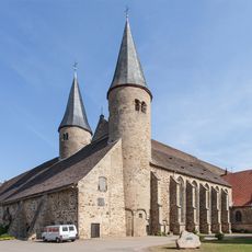
Kloster Möllenbeck
6.6 km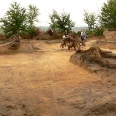
Grabhügel von Möllenbeck
5.1 km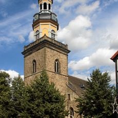
St. Nikolai (Rinteln)
5.6 km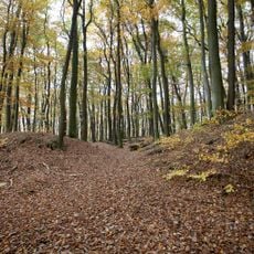
Uffoburg
3 km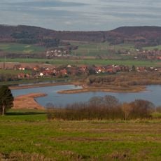
Auenlandschaft Hohenrode
4.3 km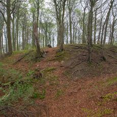
Burg Hohenrode
3 km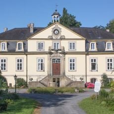
Rittergut Exten
3.7 km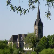
St. Sturmius
5.7 km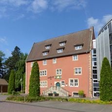
Eulenburg
5.5 km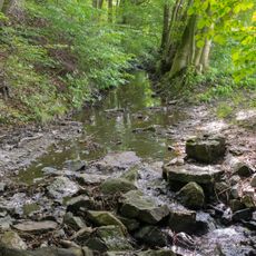
Bremker Bachtal
3.3 km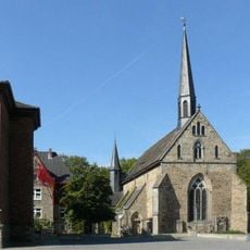
Jakobikirche
5.6 km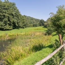
Siekbachtal
6 km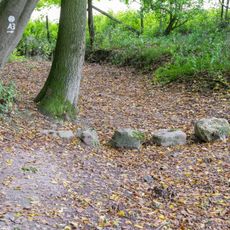
Rinnenberg
1.8 km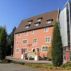
Rintelner Museum
5.5 km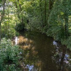
Tal der Exter
3.8 km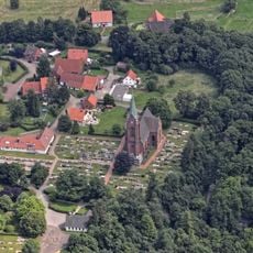
St. Agnes
6.5 km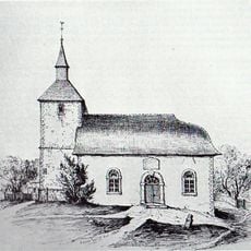
Kirche in Silixen
4.2 km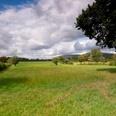
Aher Kämpe
5.1 km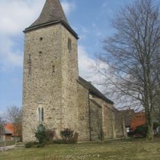
St. Cosmas und Damian
3.7 km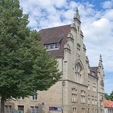
New city hall, Rinteln
5.5 km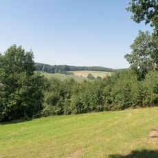
Jürgensberg
6.1 km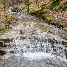
LSG-Rickbachtal
3.5 km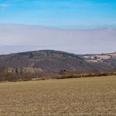
LSG-Oestliches Lipper Bergland
5.9 km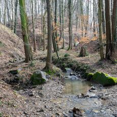
LSG-Siek zwischen Wiemke und Fuetig
4.8 km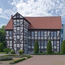
Prinzenhof
5.7 km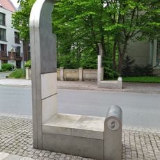
Torobjekte
5.5 km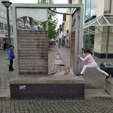
Weserstraße fountain
5.8 km
Universitätskommisse
5.8 kmReviews
Visited this place? Tap the stars to rate it and share your experience / photos with the community! Try now! You can cancel it anytime.
Discover hidden gems everywhere you go!
From secret cafés to breathtaking viewpoints, skip the crowded tourist spots and find places that match your style. Our app makes it easy with voice search, smart filtering, route optimization, and insider tips from travelers worldwide. Download now for the complete mobile experience.

A unique approach to discovering new places❞
— Le Figaro
All the places worth exploring❞
— France Info
A tailor-made excursion in just a few clicks❞
— 20 Minutes