
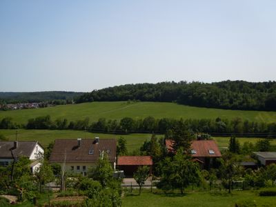
Schönbuchrand vom Schaichhof bis Dettenhausen mit Schaich-, Ramsbachtal und Österhalde
Schönbuchrand vom Schaichhof bis Dettenhausen mit Schaich-, Ramsbachtal und Österhalde, protected landscape area in Baden-Württemberg, Germany
Location: Böblingen district
Inception: 1974
GPS coordinates: 48.61370,9.06320
Latest update: March 5, 2025 14:11
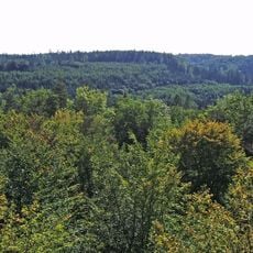
Schönbuch
3.5 km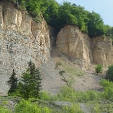
Albtrauf zwischen Mössingen und Gönningen
3.3 km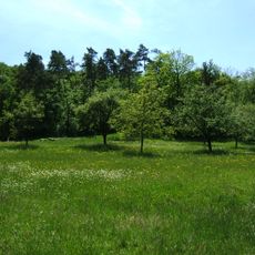
Schönbuch
4.4 km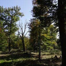
Neuweiler Viehweide
4.2 km
Mauritiuskirche
4.8 km
Martinskirche
864 m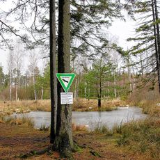
Birkensee
4.3 km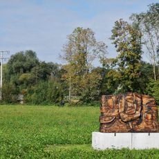
Wooden Psyche
3.9 km
Schaichhof
2.9 km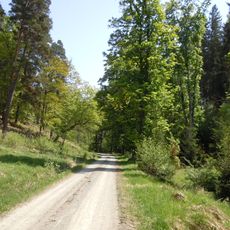
Talwiesen Glaswasen
2.9 km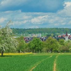
Altdorf
4.6 km
Hubertus-Eiche
3.7 km
Esche am Ochsenbach
2.8 km
1 Stieleiche, "Mahn-Eiche"
4 km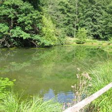
Sumpfweiher an der Teufelsbrücke
4.6 km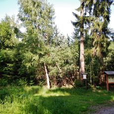
Silbersandgrube
4.6 km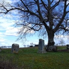
Gerichtslinde an der Dettenhäuser Straße
953 m
Schlagbaumlinde
2.5 km
Sandigs Eichle an der Weiler Ebene
1.2 km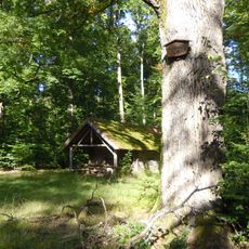
1 Bärlocheiche
4.1 km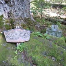
1 Kreuzbuche
3.8 km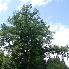
Oskar Klumpp Eiche
4.7 km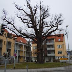
Eichele
4.8 km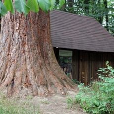
Wellingtonie am Betzenberg
4.8 km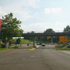
Bahnbrücke über die Erlachstraße
4.1 km
2 Eichen bei der Kohltorwiese
4.7 km
Dolinenkette im Glashau
3.6 km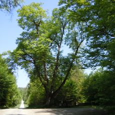
Schlagbaumlinde
2.5 kmVisited this place? Tap the stars to rate it and share your experience / photos with the community! Try now! You can cancel it anytime.
Discover hidden gems everywhere you go!
From secret cafés to breathtaking viewpoints, skip the crowded tourist spots and find places that match your style. Our app makes it easy with voice search, smart filtering, route optimization, and insider tips from travelers worldwide. Download now for the complete mobile experience.

A unique approach to discovering new places❞
— Le Figaro
All the places worth exploring❞
— France Info
A tailor-made excursion in just a few clicks❞
— 20 Minutes