
Schwarzwaldtäler, protected landscape area in Baden-Württemberg, Germany
Location: Waldshut
Inception: 1954
GPS coordinates: 47.71120,8.21958
Latest update: April 14, 2025 18:38
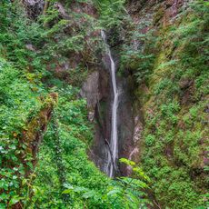
Dietlinger Wasserfall
4.8 km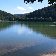
Schwarza reservoir
5.2 km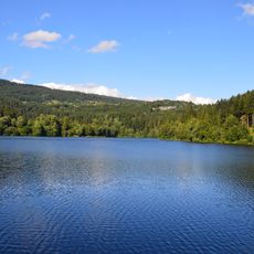
Alb Basin
6.8 km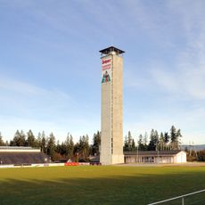
Rothaus-Zäpfle-Turm
5.3 km
Gutenburg
6.6 km
Burg Mandach
4.3 km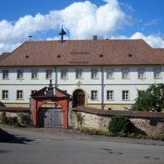
Kloster Riedern am Wald
5.3 km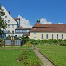
Schloss Gurtweil
8 km
Burg Krenkingen
8.2 km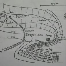
Burg Tombrugg
4.2 km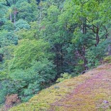
Schwarza-Schlücht-Tal
3.3 km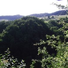
Burg Altkrenkingen
8.2 km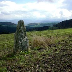
Menhir de Nöggenschwiel
3.3 km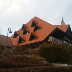
Black Forest of the Senses
7.7 km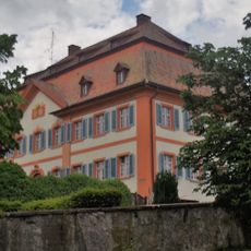
Pfarrhof Grafenhausen
7.8 km
Tiefenhäuser Moos
5.4 km
Höchenschwander Moor
4.3 km
Eibenkopf
8.1 km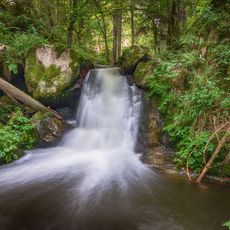
Täler von Schwarza, Mettma, Schlücht, Steina
4.4 km
Samlischbuck
6.6 km
Rüttewies-Scheibenrain
8.2 km
Berghaus
6.9 km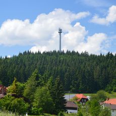
Staufenkopf
5.4 km
Tiefenhäuser / Gasthaus Rössle
5.6 km
Loipenhaus Grillstelle
5.5 km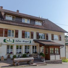
Aispel
5.2 km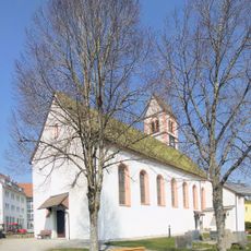
St. Peter und Paul
6.2 km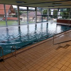
Blubb
7.7 kmReviews
Visited this place? Tap the stars to rate it and share your experience / photos with the community! Try now! You can cancel it anytime.
Discover hidden gems everywhere you go!
From secret cafés to breathtaking viewpoints, skip the crowded tourist spots and find places that match your style. Our app makes it easy with voice search, smart filtering, route optimization, and insider tips from travelers worldwide. Download now for the complete mobile experience.

A unique approach to discovering new places❞
— Le Figaro
All the places worth exploring❞
— France Info
A tailor-made excursion in just a few clicks❞
— 20 Minutes