Enable Location

We need your location to show you interesting places around you

Discover nearby places

Find interesting locations and hidden gems around you

Precise directions

Get accurate directions and distances to places

Your location is never shared with other users. It's only used when you tap the location button.

Log in to your account

Start exploring — it's free

Trusted by 63,103 travelers worldwide

Continue with Google
Continue with Apple
or

We will send you a code to connect

By continuing, you accept our Terms and Conditions and our Privacy Policy

Check your inbox

We've sent a pincode in your inbox. Please enter the code below.

Discussion Reviews Photo
43.8k Popularity

Waldshut, Administrative district in Black Forest region, Germany

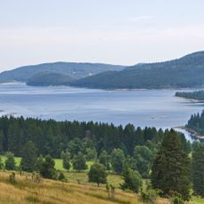
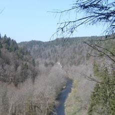
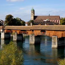
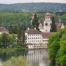
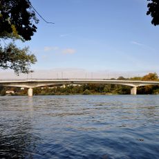
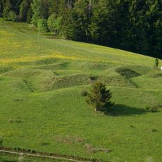
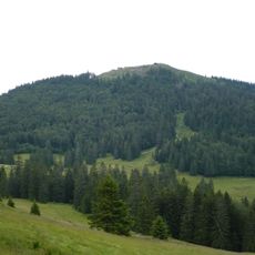
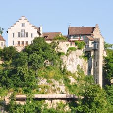
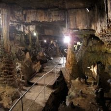
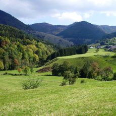
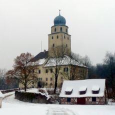
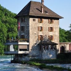
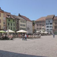
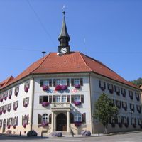
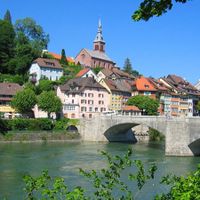
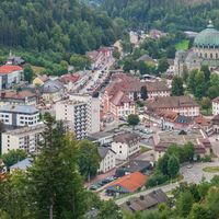
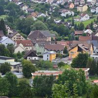
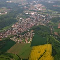
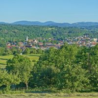
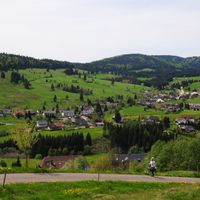
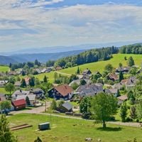
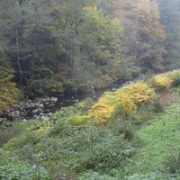
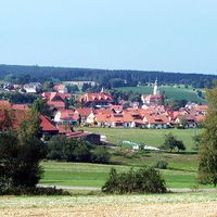
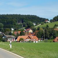
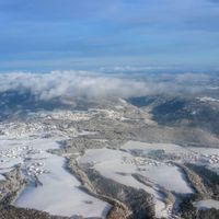
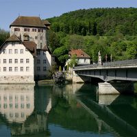
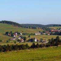
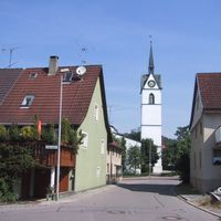
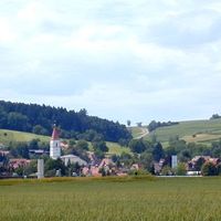
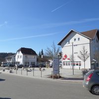
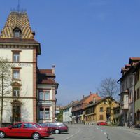
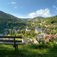
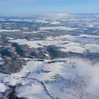
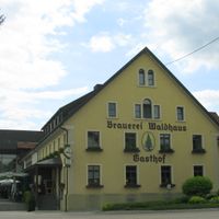
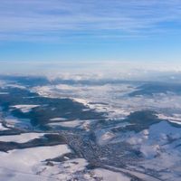
Waldshut is an administrative district in Baden-Württemberg that stretches across hilly terrain between the Rhine River and the Black Forest highlands. The territory encompasses numerous small towns and villages situated on gentle slopes or in river valleys.

The district came into being in 1938 and took on its present form in 1973 when larger territories were added from neighboring administrative areas. This reorganization established the framework that still shapes how services and resources are distributed across the region.

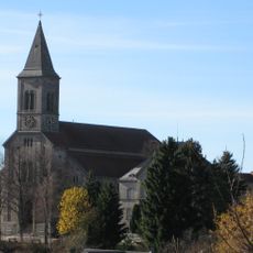
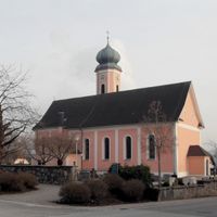
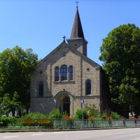
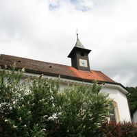
The coat of arms depicts elements that tell the story of local life: flowing water represents the Rhine and its impact on residents, while religious symbols recall the monastic traditions that shaped settlement patterns long ago.

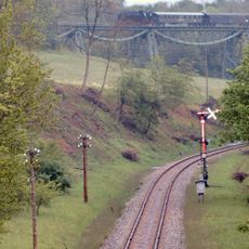
The area is easiest to explore by understanding the main transport links, as the Rhine Valley railway corridor connects many settlements. On smaller roads and paths you travel more slowly but gain better views and access to quieter villages.

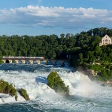
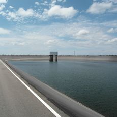
The territory borders Switzerland directly and shares boundaries with three cantons, giving the district a rare cross-border position in Europe. This geographical closeness has long shaped economic relationships and daily life for residents near the frontier.

The community of curious travelers

AroundUs brings together thousands of curated places, local tips, and hidden gems, enriched daily by 60,000 contributors worldwide.

Start exploring
Capital city
Waldshut-Tiengen
Elevation above the sea
729 m
Shares border with
Breisgau-Hochschwarzwald, Lörrach, Schwarzwald-Baar district
GPS coordinates
47.63000,8.20000
Latest update
December 14, 2025 20:51
Reviews
Share your experience

No review yet

Discussions
Start a discussion...

No discussion yet

« Waldshut - Administrative district in Black Forest region, Germany » is provided by Around Us (aroundus.com). Images and texts are derived from Wikimedia project under a Creative Commons license. You are allowed to copy, distribute, and modify copies of this page, under the conditions set by the license, as long as this note is clearly visible.

Discover hidden gems everywhere you go!

From secret cafés to breathtaking viewpoints, skip the crowded tourist spots and find places that match your style. Our app makes it easy with voice search, smart filtering, route optimization, and insider tips from travelers worldwide. Download now for the complete mobile experience.

Around Us App Screenshot

A unique approach to discovering new places

Le Figaro

All the places worth exploring

France Info

A tailor-made excursion in just a few clicks

20 Minutes

Around Us
Travel Guide & Maps
Download

Send to your phone

QR Code
1

Open the camera app on your mobile.

2

Point at the QR code with your camera. A notification will appear.

3

Tap the notification to open the link.