Laufenburg, municipality in Germany
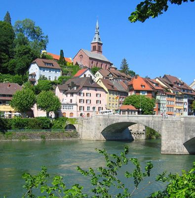
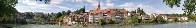
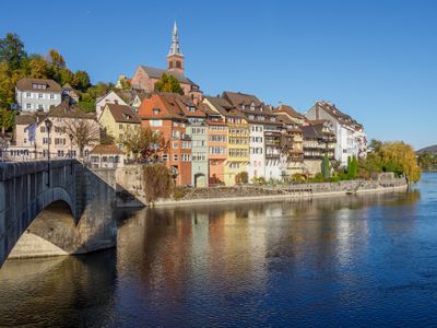
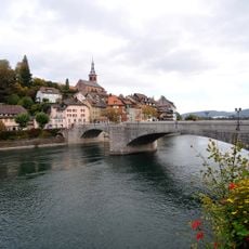
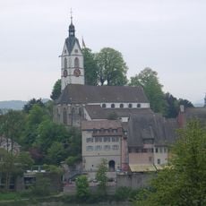
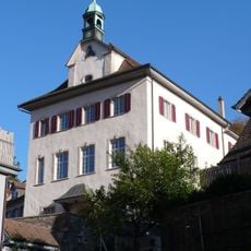
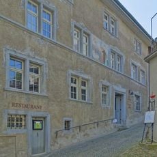
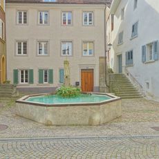
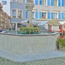
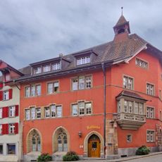
Laufenburg is a border town in the Waldshut district, split between Germany and Switzerland along the Rhine. The German side has a compact old center with narrow streets and timber-framed houses that follow the original medieval layout of the town.
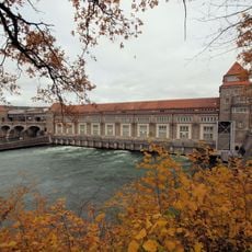
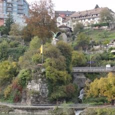
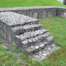
A trading settlement grew here in the Middle Ages, taking advantage of a natural ford in the Rhine to control river traffic. The town was later divided along the riverbank between two different political territories, a split that shaped how each side developed over the following centuries.
The town's name traces back to a medieval fortification that once controlled the river crossing. On the German side, the old streets and stone houses still follow patterns set centuries ago, giving the center a layered character that visitors can read simply by walking through it.
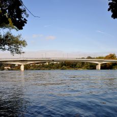
The German side of town is easy to cover on foot, as the old center is compact and the main points of interest are close together. The bridges over the Rhine are open to pedestrians, making it simple to walk across to the Swiss side and back.
Though both sides of the river share the same name, they have been governed separately for centuries and belong to two different countries. A short walk across one of the bridges makes this immediately clear, as the street surfaces, signs, and building details shift noticeably from one bank to the other.
The community of curious travelers
AroundUs brings together thousands of curated places, local tips, and hidden gems, enriched daily by 60,000 contributors worldwide.