
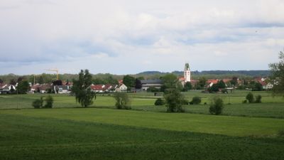
Dietenheim, protected landscape area in Baden-Württemberg, Germany
Location: Alb-Donau-Kreis
Inception: 1995
GPS coordinates: 48.21940,10.05890
Latest update: March 4, 2025 03:03
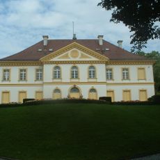
Schloss Wain
4.5 km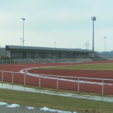
Vöhlinstadion
2.5 km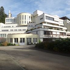
Kloster Brandenburg (Dietenheim-Regglisweiler)
2.1 km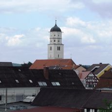
St. Martin
3.5 km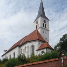
St. Peter und Paul (Bellenberg)
5.1 km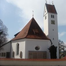
St. Michael
4.4 km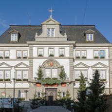
Rathaus Illertissen
3.7 km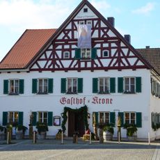
Gasthaus Krone
3.7 km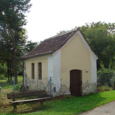
Katholische Kapelle
4.5 km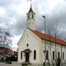
Christuskirche
3.1 km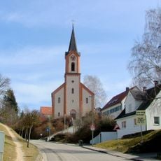
Katholische Pfarrkirche St. Meinrad
4.6 km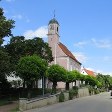
Katholische Kuratiekirche St. Johannes Baptista
4.6 km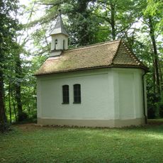
Mariahilfkapelle
5.2 km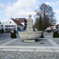
Martinsbrunnen
3.5 km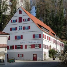
Schlossbräuhaus
3.8 km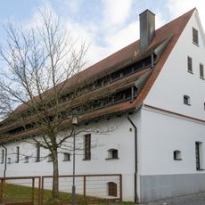
Ehemalige Schranne
3.7 km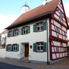
Benefiziatenhaus
3.5 km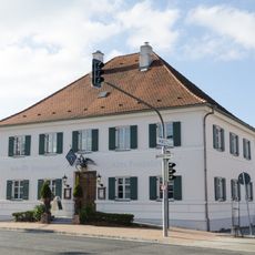
Ehemalige Posthalterei
3.2 km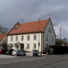
Evang.-Luth. Pfarrhaus
3.3 km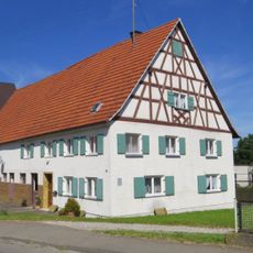
Bayernstraße 11
4.4 km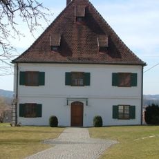
Kath. Pfarrhaus
4.6 km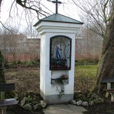
Bildstock Franz-Mang-Straße, Illertissen
3.9 km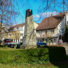
Kriegerdenkmal
3.3 km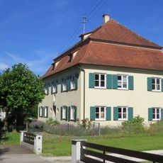
Ehemaliges Pfarrhaus, jetzt Kindergarten
5.6 km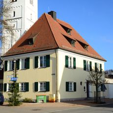
Katholische Pfarrhaus
3.5 km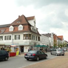
Marktplatz 2
3.4 km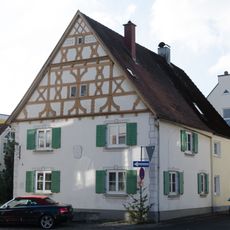
Ehem. Goldschmiedehaus
3.5 km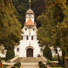
Aussegnungshalle
3.9 kmReviews
Visited this place? Tap the stars to rate it and share your experience / photos with the community! Try now! You can cancel it anytime.
Discover hidden gems everywhere you go!
From secret cafés to breathtaking viewpoints, skip the crowded tourist spots and find places that match your style. Our app makes it easy with voice search, smart filtering, route optimization, and insider tips from travelers worldwide. Download now for the complete mobile experience.

A unique approach to discovering new places❞
— Le Figaro
All the places worth exploring❞
— France Info
A tailor-made excursion in just a few clicks❞
— 20 Minutes