
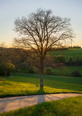
Böllingerbachtal und Michelbachtal, protected landscape area in Baden-Württemberg, Germany
Location: Heilbronn
Inception: 1987
GPS coordinates: 49.20390,9.13414
Latest update: March 11, 2025 12:09
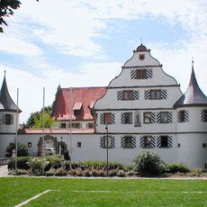
Schloss Kirchhausen
2.8 km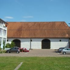
Zehntscheune
2.9 km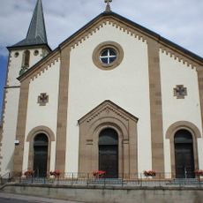
St.-Alban-Kirche
2.9 km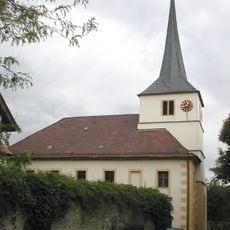
Evangelische Pfarrkirche St. Cornelius und Cyprian
1.3 km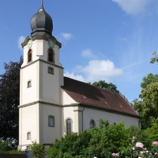
Protestant church in Bonfeld
3.1 km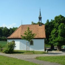
Dreifaltigkeitskapelle
2.7 km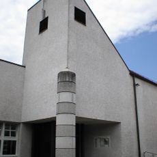
Katholische Pfarrkirche St. Cornelius und Cyprian
1.4 km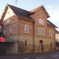
Bonfelder Straße 7
1.2 km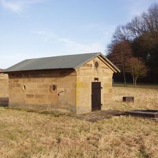
Hartlesbrunnen
1.6 km
Unterlandstraße 25
1.4 km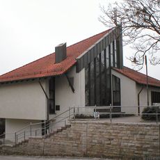
Dietrich-Bonhoeffer-Kirche
2.7 km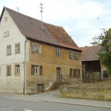
Schlossstraße 92
2.7 km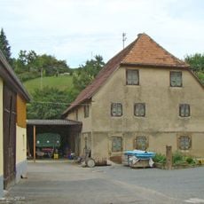
Alte Mühle (Heilbronn-Kirchhausen)
2.8 km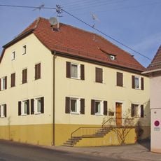
Bonfelder Straße 12
1.2 km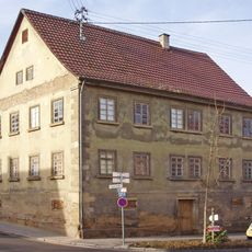
Bonfelder Straße 1
1.3 km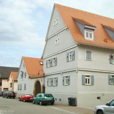
Amtmannshof
2.7 km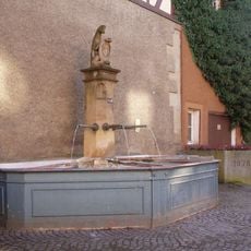
Biberbrunnen (Heilbronn-Biberach)
1.3 km
Bakehouse (Biberach)
1.4 km
Deutschritterstraße 44
2.7 km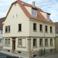
Bonfelder Straße 8
1.2 km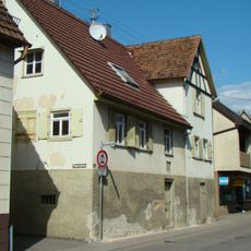
Finkenbergstraße 5
1.2 km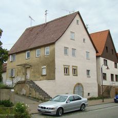
Deutschritterstraße 9
2.7 km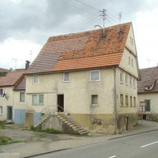
Schlossstraße 47
2.9 km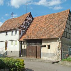
Rappengasse 6
1.1 km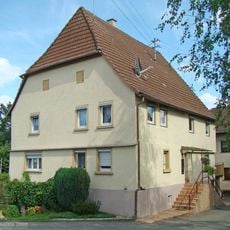
Rappengasse 10
1.1 km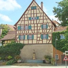
Unterlandstraße 2
1.3 km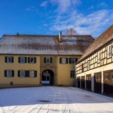
Meierei Bonfeld
3.2 km
1 Blutbuche
3.1 kmReviews
Visited this place? Tap the stars to rate it and share your experience / photos with the community! Try now! You can cancel it anytime.
Discover hidden gems everywhere you go!
From secret cafés to breathtaking viewpoints, skip the crowded tourist spots and find places that match your style. Our app makes it easy with voice search, smart filtering, route optimization, and insider tips from travelers worldwide. Download now for the complete mobile experience.

A unique approach to discovering new places❞
— Le Figaro
All the places worth exploring❞
— France Info
A tailor-made excursion in just a few clicks❞
— 20 Minutes