
LSG-Luergrund, protected area in Germany
Location: Schieder-Schwalenberg
Inception: 1994
GPS coordinates: 51.94663,9.17989
Latest update: June 10, 2025 22:21
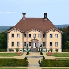
Schloss Schieder
4 km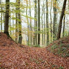
Herlingsburg
608 m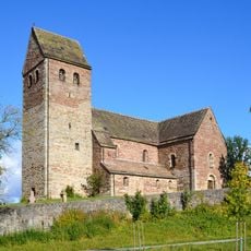
St. Kilian
4.5 km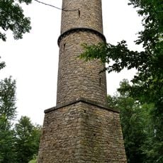
Kahlenbergturm
4 km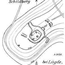
Burg Schildberg
5.9 km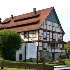
Papiermühle Plöger
4.7 km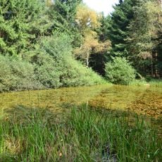
Schwalenberger Wald
4.7 km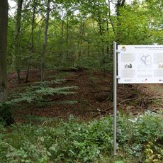
Alt-Schieder
4.1 km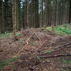
Bomhof
1.8 km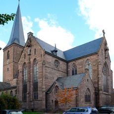
St. Marien (Lügde)
4.8 km
Rodenstatt
5.7 km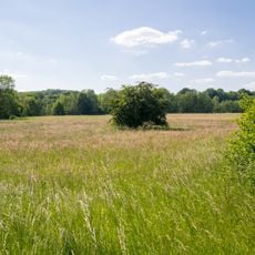
Nieseniederung mit Mündungsbereich
6 km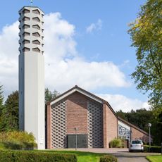
St. Martin (Blomberg)
5.7 km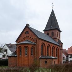
St. Johannis
4.9 km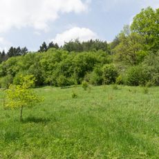
Schildberg
5.5 km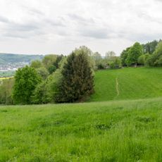
Winzenberg
3.8 km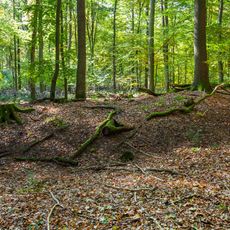
Siekholzer Schanze
3.2 km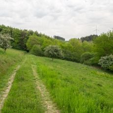
Bierberg
4.2 km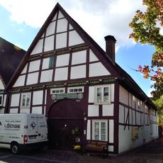
Hintere Straße 12
4.7 km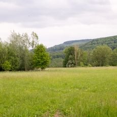
Emmertal
2.1 km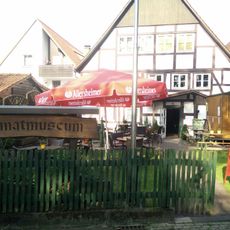
Heimatmuseum & Cafe
4.6 km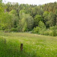
Emmertal
5.4 km
LSG-Seitentaeler der Woermke
4.3 km
LSG-Uhlensenbach
2.4 km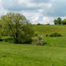
LSG-Gruenlandtaeler noerdlich und suedlich Eschenbruch
1.9 km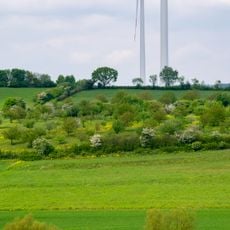
LSG-Doerenberg
5.7 km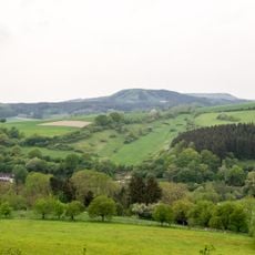
LSG-Tal am Suedhang des Humberges
3.6 km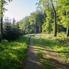
Wälder bei Blomberg
3.5 kmReviews
Visited this place? Tap the stars to rate it and share your experience / photos with the community! Try now! You can cancel it anytime.
Discover hidden gems everywhere you go!
From secret cafés to breathtaking viewpoints, skip the crowded tourist spots and find places that match your style. Our app makes it easy with voice search, smart filtering, route optimization, and insider tips from travelers worldwide. Download now for the complete mobile experience.

A unique approach to discovering new places❞
— Le Figaro
All the places worth exploring❞
— France Info
A tailor-made excursion in just a few clicks❞
— 20 Minutes