
Rekener Berge, Landschaftsschutzgebiet in Nordrhein-Westfalen
Location: Heiden
Inception: 1972
GPS coordinates: 51.83397,6.97949
Latest update: June 11, 2025 10:25
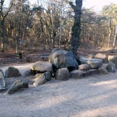
Dolmen Düwelsteene
93 m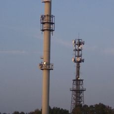
Melchenberg
4.3 km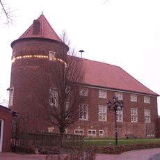
Burg Ramsdorf
7.2 km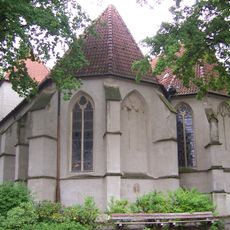
Sts. Simon and Jude
4.6 km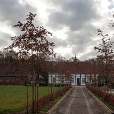
Gut Engelrading
5.9 km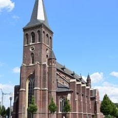
St. Andreas
6.7 km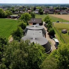
Wasserwerk Reken-Melchenberg
4.2 km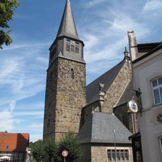
St. Antonius (Reken)
6.7 km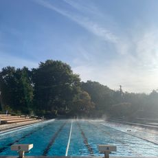
Rekener Frei- und Hallenbad
5.5 km
Wildpark Frankenhof
3.9 km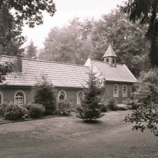
Waldkapelle und Einsiedelei
6.4 km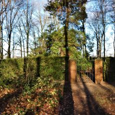
Jüdischer Friedhof Groß Reken
4.6 km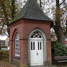
Wegekapelle Oberdorf (Reken)
4.2 km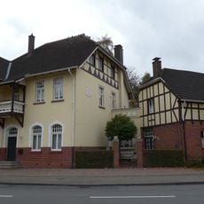
Ehem. Gastwirtschaft Sicking
6 km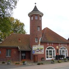
Altes Feuerwehrgerätehaus
4.1 km
Erlenbruch Sandheck
6.5 km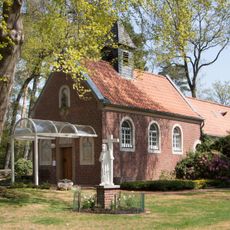
Waldkapelle
6.4 km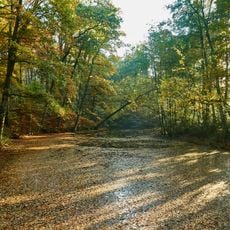
Waldvelen / Ramsdorf-Süd / Gemenkrückling / Sternbusch
5.5 km
Schwarzes Venn
3.9 km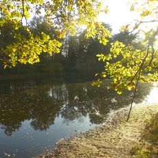
Kranenmeer
5.7 km
Kranenmeer
5.9 km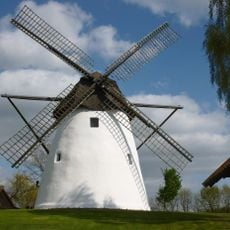
Windmühle Reken
5.1 km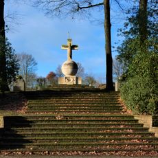
Kriegerehrenmal Klein Reken
6.4 km
Haus Uphave
4.6 km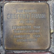
Stolperstein dedicated to Siegfried Frank
6.9 km
Haus Wübbeling - Towa
4.6 km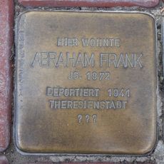
Stolperstein dedicated to Abraham Frank
6.9 km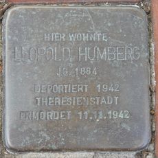
Stolperstein dedicated to Leopold Humberg
6.9 kmReviews
Visited this place? Tap the stars to rate it and share your experience / photos with the community! Try now! You can cancel it anytime.
Discover hidden gems everywhere you go!
From secret cafés to breathtaking viewpoints, skip the crowded tourist spots and find places that match your style. Our app makes it easy with voice search, smart filtering, route optimization, and insider tips from travelers worldwide. Download now for the complete mobile experience.

A unique approach to discovering new places❞
— Le Figaro
All the places worth exploring❞
— France Info
A tailor-made excursion in just a few clicks❞
— 20 Minutes