
Wurmniederung, protected landscape north of Heinsberg, Germany
Location: Heinsberg
Inception: 1986
GPS coordinates: 51.08120,6.11120
Latest update: May 14, 2025 15:03
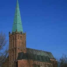
St. Gangolf
2.7 km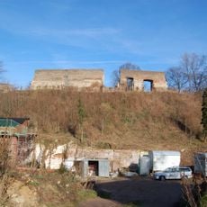
Burg Heinsberg
2.6 km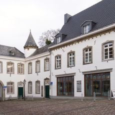
Begas Haus
2.4 km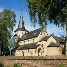
St. Mariä Himmelfahrt
3.1 km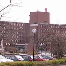
Kreishaus Heinsberg
2.3 km
Klosterhofkapelle (Heinsberg)
2.9 km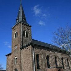
St. Hubertus
2.7 km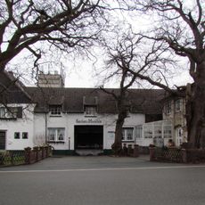
Karker Mühle
2.2 km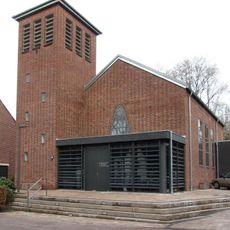
Christuskirche
2.6 km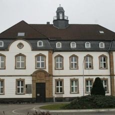
Amtsgericht Heinsberg
2.5 km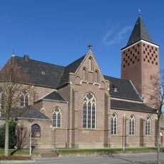
Saint Nicholas Church
1.6 km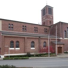
St. Aloysius (Oberbruch)
3.3 km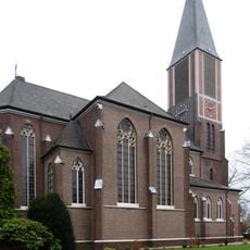
Saint Severin Church (Karken)
3.3 km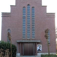
St. Theresia
3.2 km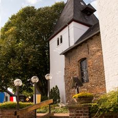
St. Martin (Orsbeck)
2.7 km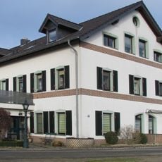
Lohmühle
469 m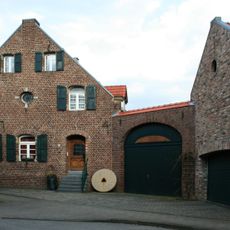
Schafhausener Kornmühle
2.9 km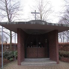
Marienkapelle
1.2 km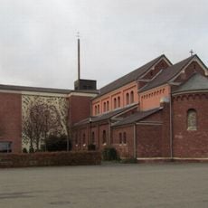
St. Maria (Unterbruch)
1.4 km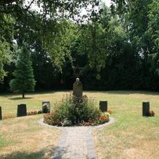
Jewish cemetery, Heinsberg
2.8 km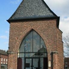
Old Church
1.6 km
Aldenhover Mühle
2.2 km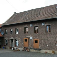
Unterbrucher Mühle
1.5 km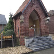
Chapel (Högden)
2.9 km
Kemper Mühle
2 km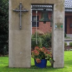
Kapelle St. Elisabeth (Lieck)
2.8 km
Chapel (Schuttorf)
3.2 km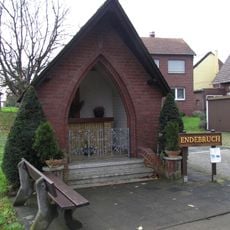
Chapel (Endebruch)
2.4 kmReviews
Visited this place? Tap the stars to rate it and share your experience / photos with the community! Try now! You can cancel it anytime.
Discover hidden gems everywhere you go!
From secret cafés to breathtaking viewpoints, skip the crowded tourist spots and find places that match your style. Our app makes it easy with voice search, smart filtering, route optimization, and insider tips from travelers worldwide. Download now for the complete mobile experience.

A unique approach to discovering new places❞
— Le Figaro
All the places worth exploring❞
— France Info
A tailor-made excursion in just a few clicks❞
— 20 Minutes