
LSG-Licher Bach, protected area in Germany
Location: Elsdorf
Inception: 1995
GPS coordinates: 50.95347,6.49079
Latest update: September 19, 2025 14:51
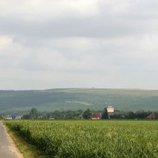
Sophienhöhe
3.8 km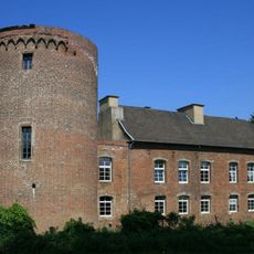
Schloss Hambach
6.9 km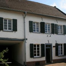
LVR-Cultural Centre Village Synagogue Rödingen
2.5 km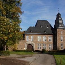
Gut Etgendorf
4.6 km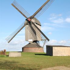
Düppelsmühle
6.4 km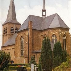
St. Andreas und Matthias
2.2 km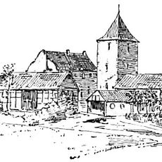
Burg Reuschenberg
4.9 km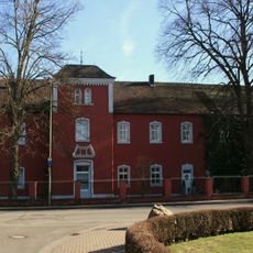
Burg Güsten
4.1 km
St. Kornelius
2.7 km
St. Hubertus
5.2 km
Saint Pancratius Church (Bettenhoven)
1.2 km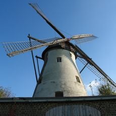
Windmühle Grottenherten
5.4 km
St. Philippus und Jakobus (Güsten)
4.2 km
Saint Martin Church
3.8 km
Saint Lucy Church
4.7 km
St. Mariä Himmelfahrt
4.5 km
St. Nikolaus
5.2 km
Jüdischer Friedhof
1.9 km
St. Katharina
1.8 km
Jüdischer Friedhof Elsdorf
5.8 km
St. Gereon
6.3 km
St. Martinus (Stetternich)
6.9 km
Margarethenkapelle
4.8 km
St. Martinus (Kirchherten)
5.9 km
St. Ursula
6.8 km
Saint Lawrence Church
3.9 km
Alt St. Willibrordus
6.1 km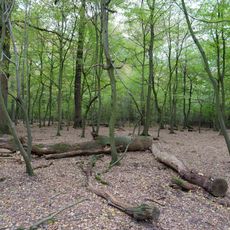
LSG-Hambacher Forst
6.7 kmReviews
Visited this place? Tap the stars to rate it and share your experience / photos with the community! Try now! You can cancel it anytime.
Discover hidden gems everywhere you go!
From secret cafés to breathtaking viewpoints, skip the crowded tourist spots and find places that match your style. Our app makes it easy with voice search, smart filtering, route optimization, and insider tips from travelers worldwide. Download now for the complete mobile experience.

A unique approach to discovering new places❞
— Le Figaro
All the places worth exploring❞
— France Info
A tailor-made excursion in just a few clicks❞
— 20 Minutes