
LSG-Wiedenfelder Hoehe, protected area in Germany
Location: Bergheim
Inception: 2016
GPS coordinates: 50.97820,6.63810
Latest update: July 10, 2025 03:25
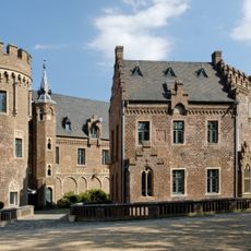
Schloss Paffendorf
2.5 km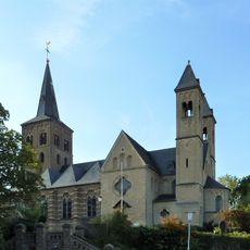
St. Remigius
2.1 km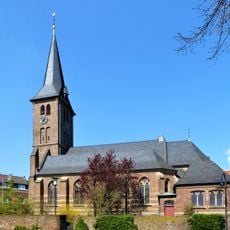
St. Johann Baptist
2.3 km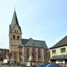
Church of St Pankratius
2.7 km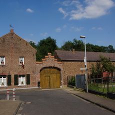
Paffendorfer Mühle
2.5 km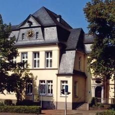
Historisches Rathaus (Bergheim)
2.7 km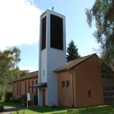
Erlöserkirche Niederaußem
2.7 km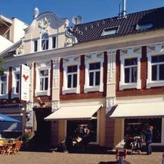
Hauptstraße 26
2.7 km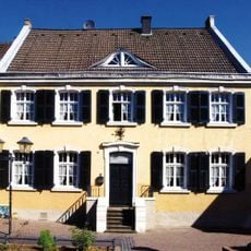
Hauptstraße 40
2.7 km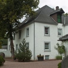
Zievericher Mühle
2.6 km
Skulptur Mutter mit Sohn und Tochter
2.7 km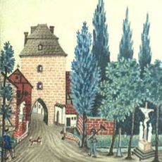
Kölner Tor
2.7 km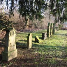
Jüdischer Friedhof
2 km
Hauptstraße 39
2.7 km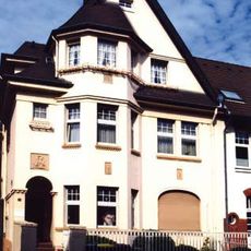
Bahnstraße 12
2.7 km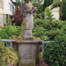
Heiliger Nepomuk
2.7 km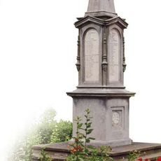
Kriegerdenkmal (Bergheim)
2.6 km
Jahrhundertwendehaus
2.6 km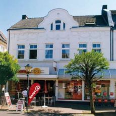
Hauptstraße 45
2.7 km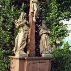
Kalvarienberg
2.7 km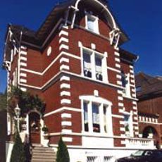
Beisselstraße 5
2.7 km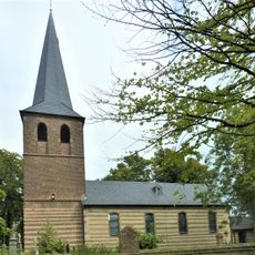
Saint Medard Church (Auenheim, Bergheim)
2.3 km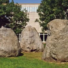
Gletscherfindlinge
2.7 km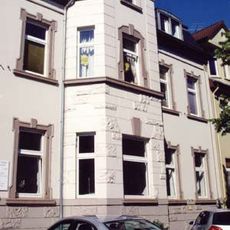
Schützenstraße 5 (Bergheim)
2.6 km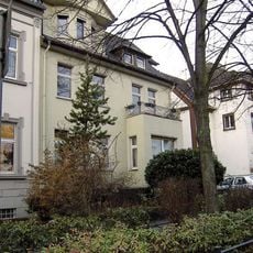
Schützenstraße 7 (Bergheim)
2.6 km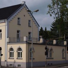
Kirchstraße 18
2.6 km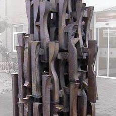
Baum der Rekultivierung
2.8 km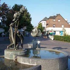
Spiel- und Erlebnisbrunnen
2.7 kmReviews
Visited this place? Tap the stars to rate it and share your experience / photos with the community! Try now! You can cancel it anytime.
Discover hidden gems everywhere you go!
From secret cafés to breathtaking viewpoints, skip the crowded tourist spots and find places that match your style. Our app makes it easy with voice search, smart filtering, route optimization, and insider tips from travelers worldwide. Download now for the complete mobile experience.

A unique approach to discovering new places❞
— Le Figaro
All the places worth exploring❞
— France Info
A tailor-made excursion in just a few clicks❞
— 20 Minutes