Kinzweiler-Hehlrath, protected landscape in Germany
Location: Eschweiler
Inception: 1991
GPS coordinates: 50.83656,6.22809
Latest update: November 19, 2025 14:55
Château de Kambach
484 m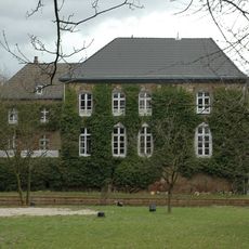
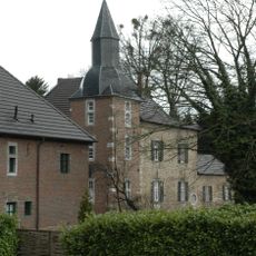
Burg Kinzweiler
1 km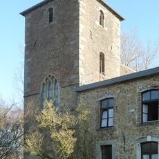
Kloster St. Jöris
1.2 km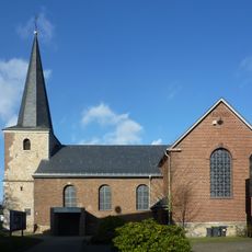
St. Cäcilia
1 km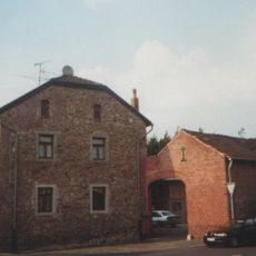
Pannhaus (Kinzweiler)
920 m
Helene-Nickel-Stift
1.4 km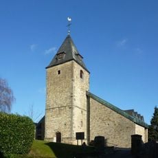
St. Blasius
911 m
Hehlrath
664 m
Ehemalige Deponie Röhe
1.2 km
Ehemalige Kieswäsche Kinzweiler
1.3 km
Merzbach zwischen St.Jöris und Kinzweiler
957 m
Grünland und Gehölzbestand der Ortslage Röhe
1.2 km
Pannhaus
903 m
Memorial
1.1 km
Statue, Work of art
443 m
Wayside cross
928 m
Wayside shrine, Christianity
1.1 km
Christianity, wayside shrine
752 m
Wayside shrine
1.2 km
Burg Kinzweiler
1.1 km
Wayside shrine, Christianity
1.3 km
Wayside cross
1.3 km
Wayside cross
935 m
Wayside cross
447 m
Kriegsdenkmal
468 m
Catholic church building, wayside shrine, Christianity
922 m
Wayside shrine, Christianity, Catholic church building
935 m
Wayside cross
942 mReviews
Visited this place? Tap the stars to rate it and share your experience / photos with the community! Try now! You can cancel it anytime.
Discover hidden gems everywhere you go!
From secret cafés to breathtaking viewpoints, skip the crowded tourist spots and find places that match your style. Our app makes it easy with voice search, smart filtering, route optimization, and insider tips from travelers worldwide. Download now for the complete mobile experience.

A unique approach to discovering new places❞
— Le Figaro
All the places worth exploring❞
— France Info
A tailor-made excursion in just a few clicks❞
— 20 Minutes