
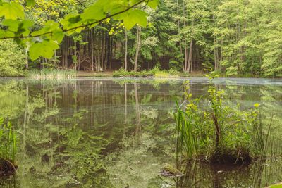
State forest Saarbrücken, protected area in Germany
Location: Saarbrücken
Inception: 1976
GPS coordinates: 49.28266,6.96529
Latest update: May 9, 2025 22:44
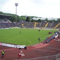
Ludwigsparkstadion
4.1 km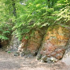
Brennender Berg
6.4 km
Saarlandhalle
4 km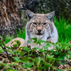
Wildpark Saarbrücken
5.7 km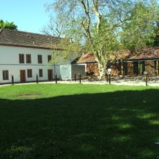
Schloss Neuhaus
1.5 km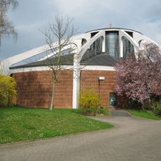
St. Albert
4.3 km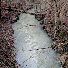
Fischbach
4 km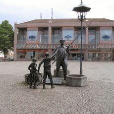
De Monn mit da long Stong
5.2 km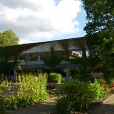
Botanischer Garten der Universität des Saarlandes
6.1 km
St. Marien (Dudweiler)
5.3 km
Schloss Bietschied
5.1 km
Ölmühle Berschweiler
6.2 km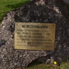
Holzer Konglomerat
4.5 km
St. Antonius von Padua
3.4 km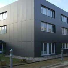
Olympiastützpunkt Rheinland-Pfalz/Saarland
6.3 km
Kreuzkirche
3.9 km
St. Marien
3.2 km
Christuskirche
5.3 km
Mariä Himmelfahrt
8 km
St. Josef
4.8 km
St. Barbara
6.4 km
Alter Malstatter Friedhof
3.9 km
Wasserturm Heusweiler-Holz
6.3 km
Rodenhof
4 km
Water tower in Göttelborn
7.5 km
St. Hubertus
3.7 km
Waldschutzgebiet Steinbachtal / Netzbachtal
2.4 km
St. Bonifatius
5.3 kmReviews
Visited this place? Tap the stars to rate it and share your experience / photos with the community! Try now! You can cancel it anytime.
Discover hidden gems everywhere you go!
From secret cafés to breathtaking viewpoints, skip the crowded tourist spots and find places that match your style. Our app makes it easy with voice search, smart filtering, route optimization, and insider tips from travelers worldwide. Download now for the complete mobile experience.

A unique approach to discovering new places❞
— Le Figaro
All the places worth exploring❞
— France Info
A tailor-made excursion in just a few clicks❞
— 20 Minutes