
LSG-Renne-Niederung, protected area in Germany
Location: Nettetal
Inception: 1984
GPS coordinates: 51.32748,6.26138
Latest update: June 10, 2025 17:47
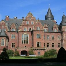
Krickenbeck Castle
2 km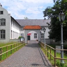
Niederrheinisches Freilichtmuseum
5.7 km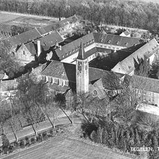
Ulingsheide Abbey
5.9 km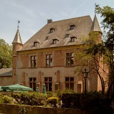
Burg Ingenhoven
2.8 km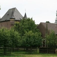
Burg Bocholt
2.5 km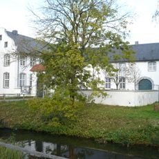
Dorenburg (Grefrath)
5.7 km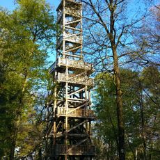
Taubenberg Observation Tower
2.3 km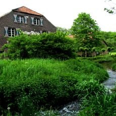
Leuther Mühle
1.9 km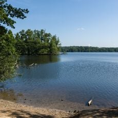
Krickenbecker Seen und Kleiner De Wittsee
1.7 km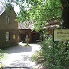
Textilmuseum Die Scheune
1.9 km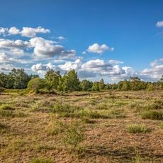
Heronger Buschberge, Wankumer Heide
4.5 km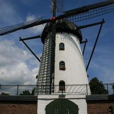
Stammenmühle
2 km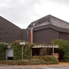
Werner-Jaeger-Halle
1.8 km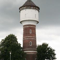
Wasserturm Lobberich
3 km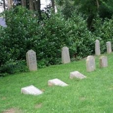
Jüdischer Friedhof
5.1 km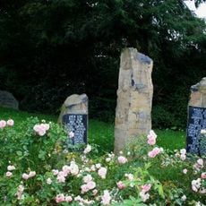
Alter jüdischer Friedhof
4.6 km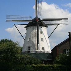
Schaager Mühle
5.1 km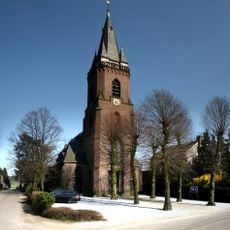
St. Maria Helferin der Christen
5.7 km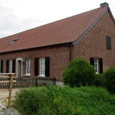
Kovermühle
4.2 km
Pletschmühle
5.3 km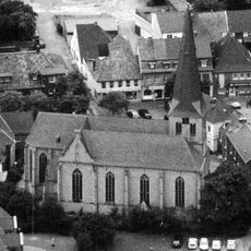
St. Laurentius
5.6 km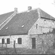
Gasthuishof
5.4 km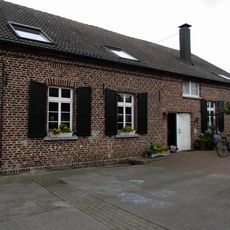
Nettmühle
5.3 km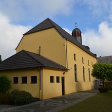
Evangelische Kirche
4.5 km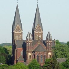
Sankt Sebastiankirche
2.3 km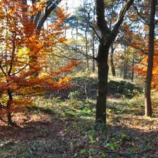
Landwehr: Groote Heide
4.4 km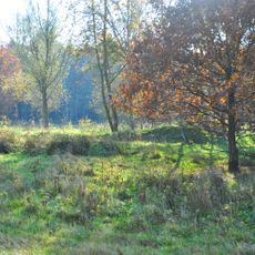
Landwehr: Groote Heide
5 km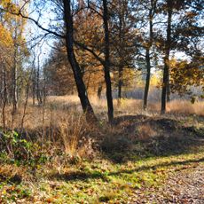
Landwehr: Groote Heide
4.5 kmReviews
Visited this place? Tap the stars to rate it and share your experience / photos with the community! Try now! You can cancel it anytime.
Discover hidden gems everywhere you go!
From secret cafés to breathtaking viewpoints, skip the crowded tourist spots and find places that match your style. Our app makes it easy with voice search, smart filtering, route optimization, and insider tips from travelers worldwide. Download now for the complete mobile experience.

A unique approach to discovering new places❞
— Le Figaro
All the places worth exploring❞
— France Info
A tailor-made excursion in just a few clicks❞
— 20 Minutes