Enable Location

We need your location to show you interesting places around you

Discover nearby places

Find interesting locations and hidden gems around you

Precise directions

Get accurate directions and distances to places

Your location is never shared with other users. It's only used when you tap the location button.

Nettetal

Log in to your account

Start exploring — it's free

Trusted by 62,286 travelers worldwide

Continue with Google
Continue with Apple
or

We will send you a code to connect

By continuing, you accept our Terms and Conditions and our Privacy Policy

Check your inbox

We've sent a pincode in your inbox. Please enter the code below.

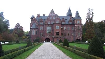
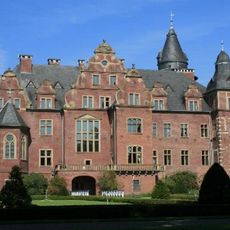
Nettetal, Administrative municipality in Viersen district, Germany

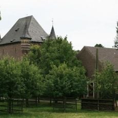
Nettetal is a municipality in North Rhine-Westphalia that spans several former towns including Breyell, Hinsbeck, and Kaldenkirchen. The place was formed by merging multiple independent communities and therefore has a decentralized character with several centers.

The municipality was formed in 1970 through an administrative reform that brought together six previously separate towns and created a larger administrative unit. This merger laid the foundation for the current municipality in Viersen district.

The place maintains the independence of its different districts through local festivals and gatherings that bring people together. These decentralized celebrations shape community life and show how the various neighborhoods preserve their own identity.

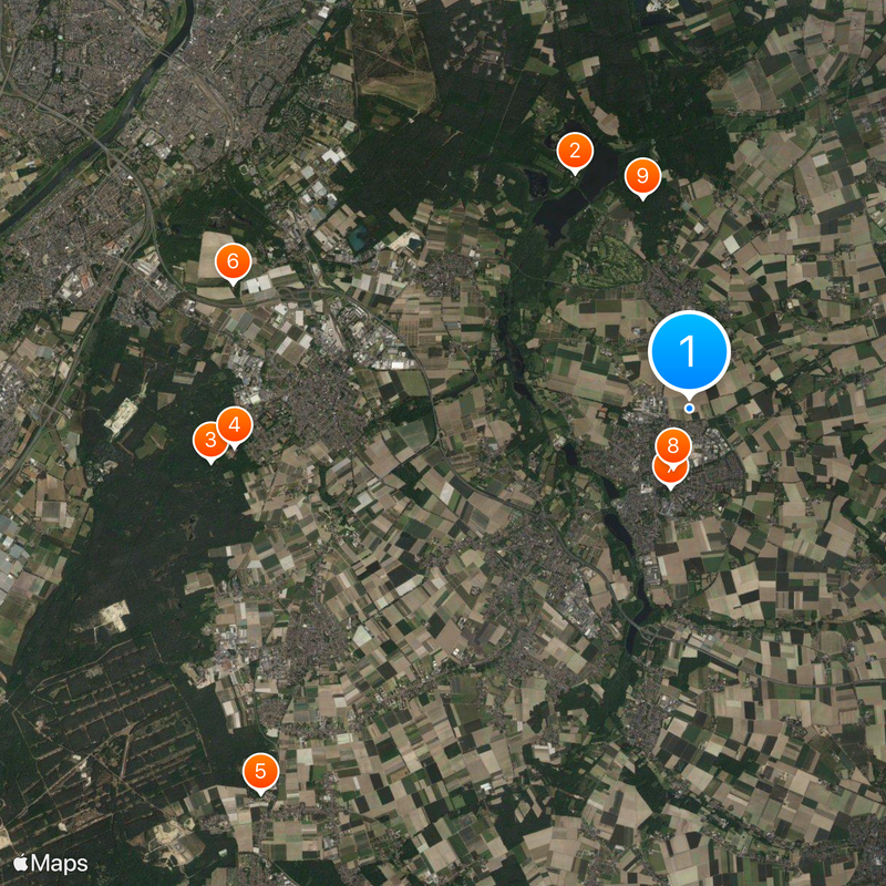
The area has good train connections with stations in Kaldenkirchen and Breyell, making it easy to reach Düsseldorf and Cologne. Those traveling by public transportation will find a reliable network linking the different districts together.

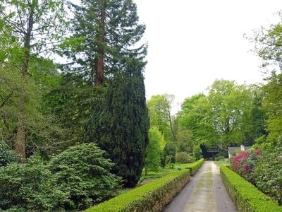
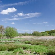
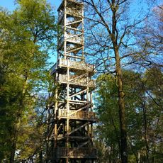
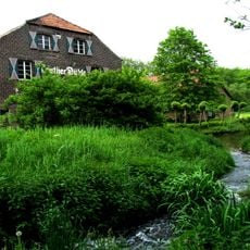
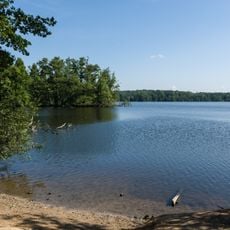
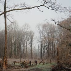
The Krickenbecker Seen is a nature reserve containing several lakes formed during the ice age by glacial activity. These lakes today provide habitat for water birds and offer visitors an important recreational area.

The community of curious travelers

AroundUs brings together thousands of curated places, local tips, and hidden gems, enriched daily by 60,000 contributors worldwide.

Start exploring
Location
Inception
January 1, 1970
Elevation above the sea
40 m
Shares border with
Viersen, Grefrath
Phone
GPS coordinates
51.31667,6.28333
Latest update
December 17, 2025 09:23
« Nettetal - Administrative municipality in Viersen district, Germany » is provided by Around Us (aroundus.com). Images and texts are derived from Wikimedia project under a Creative Commons license. You are allowed to copy, distribute, and modify copies of this page, under the conditions set by the license, as long as this note is clearly visible.

Discover hidden gems everywhere you go!

From secret cafés to breathtaking viewpoints, skip the crowded tourist spots and find places that match your style. Our app makes it easy with voice search, smart filtering, route optimization, and insider tips from travelers worldwide. Download now for the complete mobile experience.

Around Us App Screenshot

A unique approach to discovering new places

Le Figaro

All the places worth exploring

France Info

A tailor-made excursion in just a few clicks

20 Minutes

Around Us
Travel Guide & Maps
Download

Send to your phone

QR Code
1

Open the camera app on your mobile.

2

Point at the QR code with your camera. A notification will appear.

3

Tap the notification to open the link.