An der Mode, nordöstlich Morsbach, protected area in Germany
Location: Schleiden
Inception: 2004
GPS coordinates: 50.56934,6.45426
Latest update: April 3, 2025 16:23

Urfttalsperre
4.4 km
Victor Neels Bridge
2.6 km
Schloss Dreiborn
3.6 km
Schloss Schleiden
4.7 km
St. Rochus
2.4 km
Schlosskirche Schleiden
4.7 km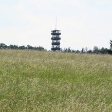
Feuerwachturm Wolfgarten
3.6 km
Red Cross Museum vogelsang ip
2.1 km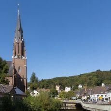
St. Nikolaus
3.2 km
Bergstraße 15
3.3 km
St. Nikolaus
5.5 km
Alte Bahnhofstraße 1
3.4 km
Walderlebniszentrum Gemünd
3 km
Trutzburg Gemünd
3.3 km
Vogelschutzgebiet Kermeter-Hetzinger Wald
5.2 km
Urfttalsperre
3 km
Kermeter
5.2 km
Morsbach 61
1.1 km
Wegekreuz Urftseestraße
2.3 km
Rathaus Schleiden
4.8 km
Bruchstraße 24
2 km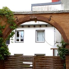
Alte Bahnhofstraße 13
3.3 km
Am Markt 9
4.8 km
Aachener Straße 13
3.3 km
Alte Bahnhofstraße 2
3.4 km
Aachener Straße 15
3.3 km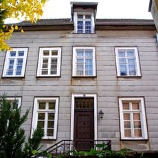
Sleidanusstraße 12
4.8 km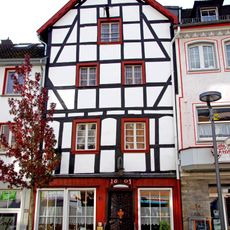
Am Markt 26
4.8 kmReviews
Visited this place? Tap the stars to rate it and share your experience / photos with the community! Try now! You can cancel it anytime.
Discover hidden gems everywhere you go!
From secret cafés to breathtaking viewpoints, skip the crowded tourist spots and find places that match your style. Our app makes it easy with voice search, smart filtering, route optimization, and insider tips from travelers worldwide. Download now for the complete mobile experience.

A unique approach to discovering new places❞
— Le Figaro
All the places worth exploring❞
— France Info
A tailor-made excursion in just a few clicks❞
— 20 Minutes