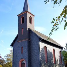
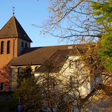
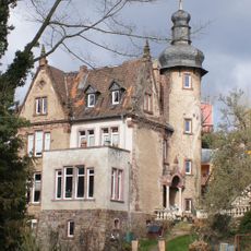
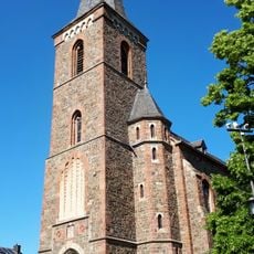
Schleiden, Administrative town in Euskirchen district, Germany.
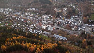
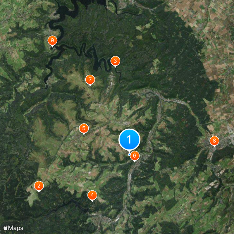
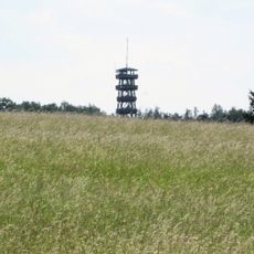
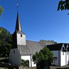
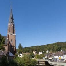
Schleiden is a town located in the Eifel hills at roughly 370 meters elevation, comprising 18 settlements spread across the municipality including the main town center and the Gemünd district. The area consists of residential communities scattered across rolling terrain that form a single administrative entity.
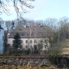
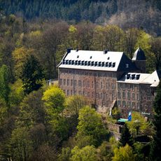
The territory developed from a medieval lordship and eventually became part of the Luxembourg Duchy before coming under French control during the Revolutionary period. In 1815, it was incorporated into Prussia, marking a fundamental shift in governance and administration.
The town's character is shaped by its role as an educational hub, with two prominent schools drawing students from surrounding areas and forming a vital part of daily community life.
The town connects to the Schleiden-Kall railway line, which links to the main rail route between Cologne and Trier, making it accessible to visitors traveling through the region. This railway connection allows guests to move easily to nearby communities and larger cities.
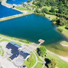
The Urft Reservoir, built between 1900 and 1905, shapes the surrounding landscape and serves as a key engineering achievement for the region's water management system. This artificial lake collects water through an intricate network designed to ensure reliable water supply to the area.
The community of curious travelers
AroundUs brings together thousands of curated places, local tips, and hidden gems, enriched daily by 60,000 contributors worldwide.