
LSG-Neffelbachtal, protected area in Germany
Location: Vettweiß
Inception: 1981
GPS coordinates: 50.76964,6.64051
Latest update: June 15, 2025 02:32
Burg Müddersheim
2.6 km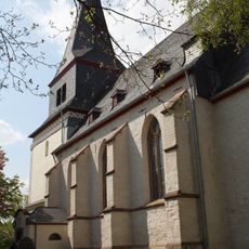
St. Viktor
3.1 km
Hallenburg Disternich
3.5 km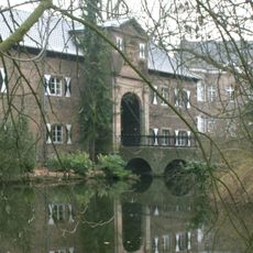
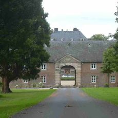
Gladbach Castle
522 m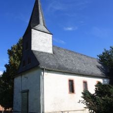
St. Petrus (Nörvenich-Poll)
2.5 km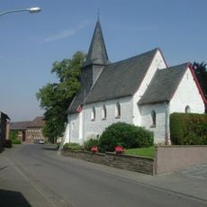
St. Margaretha
3.6 km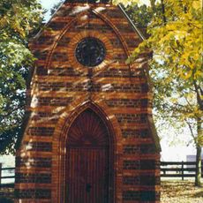
Annakapelle
2.8 km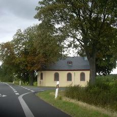
Antoniuskapelle
2.8 km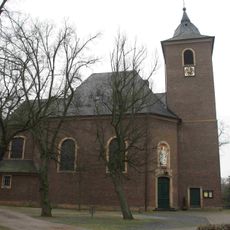
Saint Amandus Church
2.4 km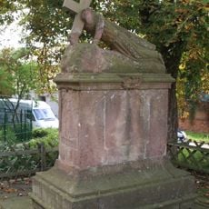
Fußfall (Hochkirchen)
3 km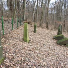
Jewish cemetery, Gladbach
1.4 km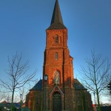
St. Michael (Kelz)
3.2 km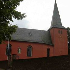
St. Mariä Himmelfahrt
3.7 km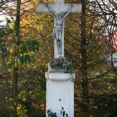
Wegekreuz Pützstraße
3.4 km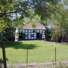
Bakehouse (Irresheim)
2.8 km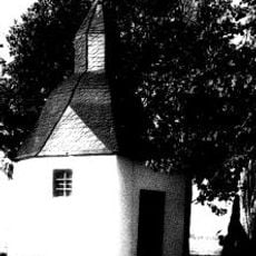
Dreifaltigkeitskapelle
4 km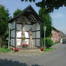
Kalvarienberg
3.6 km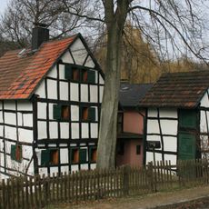
Müddersheimer Mühle
2.1 km
Synagoge Lüxheim
941 m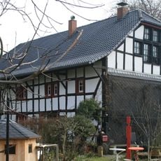
Müddersheimer Ölmühle
2.8 km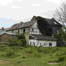
Obere Mühle
3.7 km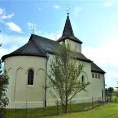
St.-Nikolaus-Kapelle
1 km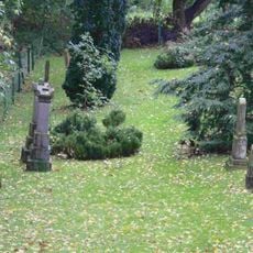
Jüdischer Friedhof
833 m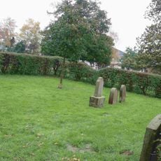
Jüdischer Friedhof
3.3 km
Saint Peter Church
802 m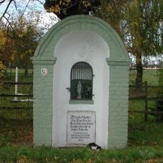
Heiligenhaus (Dorweiler)
3.7 km
Motte Irresheim
1.8 km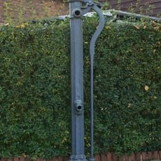
Wasserpumpe Weststraße
2 kmReviews
Visited this place? Tap the stars to rate it and share your experience / photos with the community! Try now! You can cancel it anytime.
Discover hidden gems everywhere you go!
From secret cafés to breathtaking viewpoints, skip the crowded tourist spots and find places that match your style. Our app makes it easy with voice search, smart filtering, route optimization, and insider tips from travelers worldwide. Download now for the complete mobile experience.

A unique approach to discovering new places❞
— Le Figaro
All the places worth exploring❞
— France Info
A tailor-made excursion in just a few clicks❞
— 20 Minutes