
LSG-Am Welveraner Wald, protected area in Germany
Location: Welver
Inception: 2013
GPS coordinates: 51.61784,8.00496
Latest update: March 15, 2025 08:32
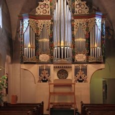
Organo di S. Andrea
7.7 km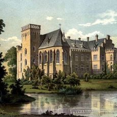
Haus Lohe
7.2 km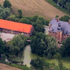
Haus Nehlen
1.8 km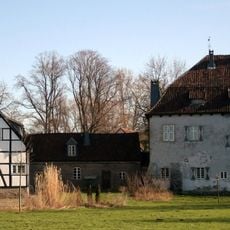
Burg Vellinghausen
5.3 km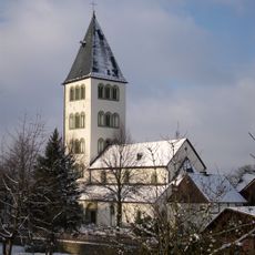
Church of St. Andrew in Ostönnen
7.7 km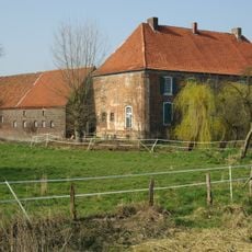
Haus Hohenover
6 km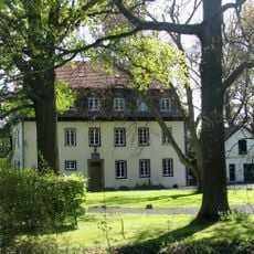
Haus Koeningen
5.4 km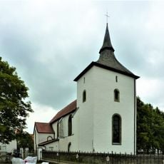
St. Albanus und Cyriakus
2.8 km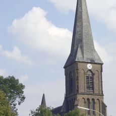
St.-Cornelius-und-Cyprian-Kirche
5.7 km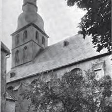
St. Bernhard
2.8 km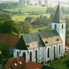
St. Othmar (Dinker)
4 km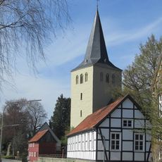
St. Severin
5 km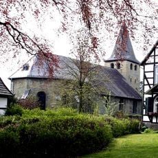
Evangelische Kirche Borgeln
3 km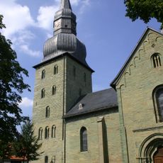
St. Stephanus
6.8 km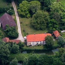
Haus Nateln
1.7 km
Kapelle Hof Flerke
5.6 km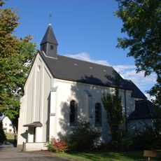
Maria Magdalena
4.7 km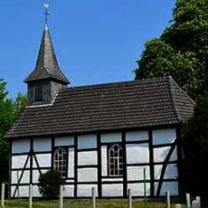
St. Antonius (Stocklarn)
3.2 km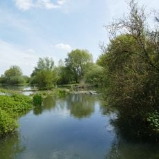
Ahse bei Dinker
3.5 km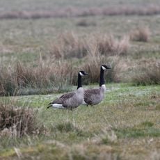
Ahsewiesen
3.9 km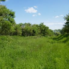
Ehemalige Klärteiche an der Zuckerfabrik Soest
6.8 km
Haus Aul
5.1 km
Ahsewiesen
3.2 km
Ehemalige Klärteiche bei Hattrop
4.6 km
Schmehauser Mersch
7.6 km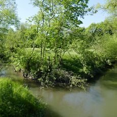
Ahseniederung Oestinghausen
7.5 km
Gasthof Willenbrink
5.7 km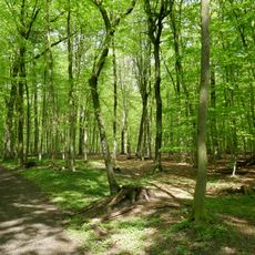
Wälder um Welver
1.9 kmReviews
Visited this place? Tap the stars to rate it and share your experience / photos with the community! Try now! You can cancel it anytime.
Discover hidden gems everywhere you go!
From secret cafés to breathtaking viewpoints, skip the crowded tourist spots and find places that match your style. Our app makes it easy with voice search, smart filtering, route optimization, and insider tips from travelers worldwide. Download now for the complete mobile experience.

A unique approach to discovering new places❞
— Le Figaro
All the places worth exploring❞
— France Info
A tailor-made excursion in just a few clicks❞
— 20 Minutes