Welver, municipality in the district of Soest, in North Rhine-Westphalia, Germany
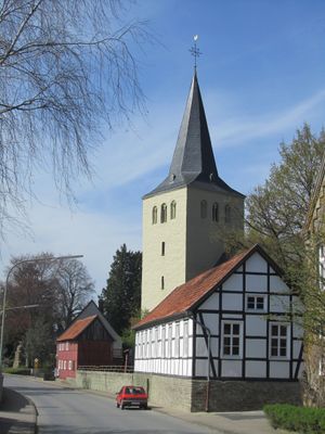
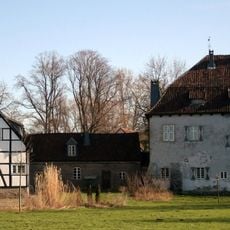
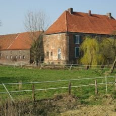
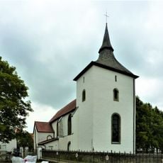
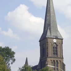
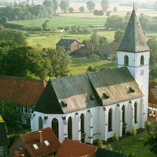
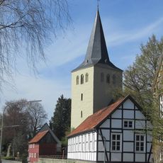
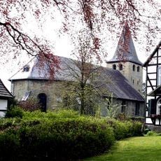
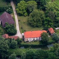
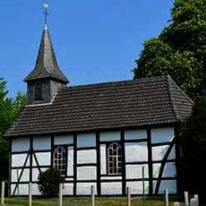
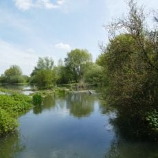
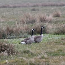
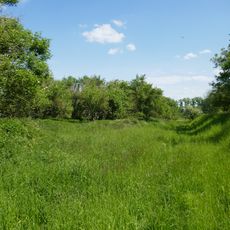
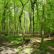
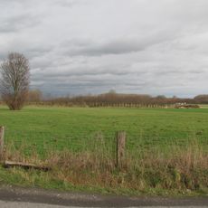
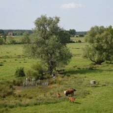
Welver is a small municipality in North Rhine-Westphalia composed of several merged villages spanning about 85 square kilometers. The place is characterized by open fields, farms, and quiet streets, with simple buildings and narrow lanes defining its rural appearance.
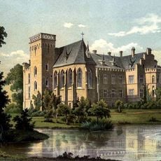
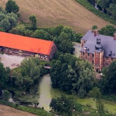
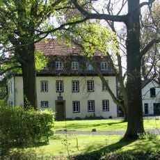
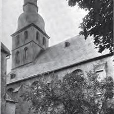
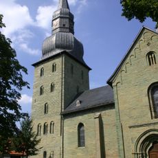
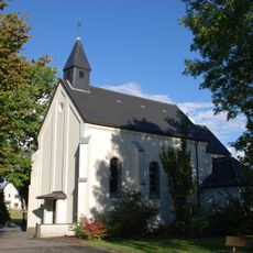
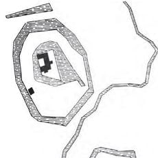
Welver was originally known as Villinghausen or Vellinghausen and is closely connected to the Battle of Villinghausen, which occurred during the Seven Years' War in the 18th century. The present municipality was formed in 1969 through the merger of several villages into a single administrative unit.
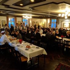
The name Welver derives from its historical designation as Villinghausen, reflecting the rural identity of the place. Today the municipality is shaped by smaller villages, each maintaining their own centers with local shops and farms, which creates a strong sense of community.
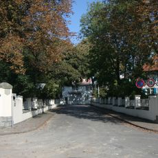
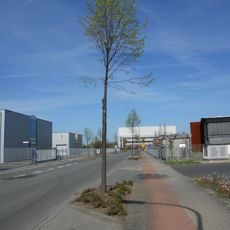
The place is best explored on foot or by bicycle, as narrow lanes and quiet country roads characterize movement throughout the area. Proximity to Hamm and Soest makes it easy to combine a visit to Welver with trips to larger cities, with local shops and farms accessible during daytime hours.
A monument to the Battle of Villinghausen reminds visitors of the place's role in one of the major European conflicts of the 18th century. This historical reminder gives the otherwise quiet municipality deeper meaning and invites reflection on the far-reaching impact of past events.
The community of curious travelers
AroundUs brings together thousands of curated places, local tips, and hidden gems, enriched daily by 60,000 contributors worldwide.