
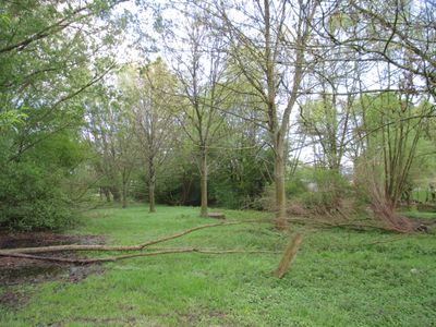
Landschaftsschutzgebiet Mühlohlsley, protected area in Germany
Location: Alpen
Inception: 2009
GPS coordinates: 51.59031,6.52001
Latest update: March 2, 2025 20:12
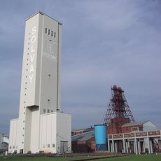
Salzbergwerk Borth
3.4 km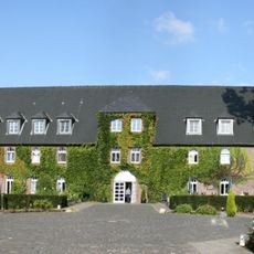
Haus Winnenthal
3.8 km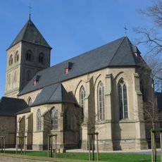
St. Mariä Himmelfahrt
6.2 km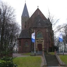
Saint Viktor of Xanten Church
5.9 km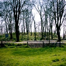
Burg Alpen
1.3 km
Haus Fürstenberg
7.3 km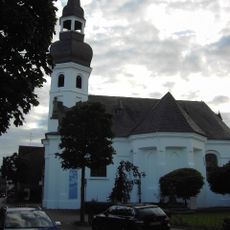
Evangelische Kirche Alpen
1.5 km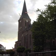
St. Ulrich
1.7 km
Saint Peter Church
6.1 km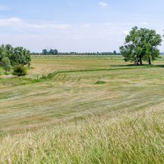
Rheinvorland östlich von Wallach
4.5 km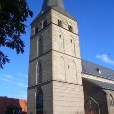
St. Peter (Spellen)
6.8 km
St.-Anna-Kirche
6.7 km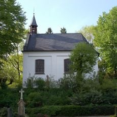
St.-Anna-Kapelle
6.5 km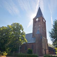
Evermarus Church
2.6 km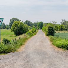
Rheinvorland nördlich der Ossenberger Schleuse
5 km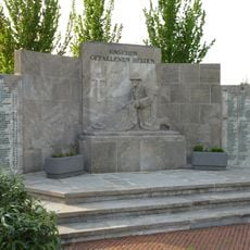
Kriegerdenkmal
6 km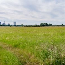
Forschungsrevier im Orsoyer Rheinbogen
6.2 km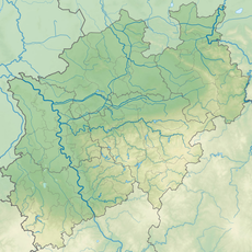
Erlenbruchwald und Landwehr in der Leucht
3.8 km
Bislicher Insel
6.9 km
Leucht
6.6 km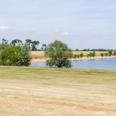
LSG-Rheinvorland an der Momm und Rheinauenwald
4.8 km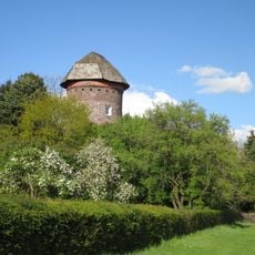
Höhenrand der Bönninghardt und der Leucht
1.8 km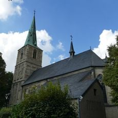
St. Walburgis
2.9 km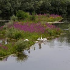
NSG Bislicher Insel, nur Teilfläche
6.4 km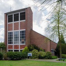
Church of the Assumption, Ossenberg
4.7 km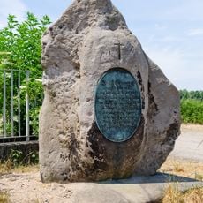
Gedenkstein an der Momm
5.3 km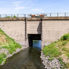
Ossenberger Schleuse
5.4 km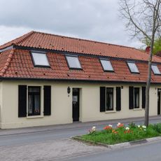
Graf-Luitpold-Straße 6-8
4.7 kmVisited this place? Tap the stars to rate it and share your experience / photos with the community! Try now! You can cancel it anytime.
Discover hidden gems everywhere you go!
From secret cafés to breathtaking viewpoints, skip the crowded tourist spots and find places that match your style. Our app makes it easy with voice search, smart filtering, route optimization, and insider tips from travelers worldwide. Download now for the complete mobile experience.

A unique approach to discovering new places❞
— Le Figaro
All the places worth exploring❞
— France Info
A tailor-made excursion in just a few clicks❞
— 20 Minutes