
LSG-Niers- und Trietbachaue Neuwerk <temporaer>, protected area in Germany
Location: Mönchengladbach
Inception: 1995
GPS coordinates: 51.20392,6.48556
Latest update: August 13, 2025 05:18
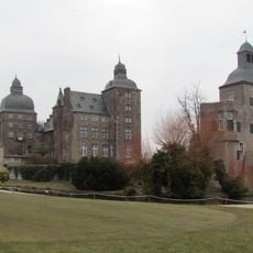
Lordship of Myllendonk
708 m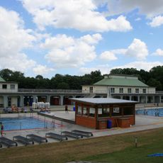
Volksbad Mönchengladbach
1.7 km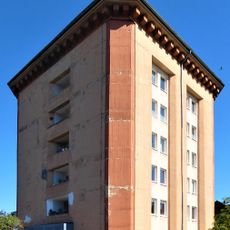
Luftschutzbunker
368 m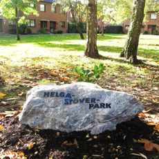
Helga-Stöver-Park
1.6 km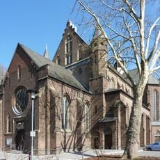
St. Mariä Empfängnis
933 m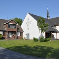
Herz-Jesu-Kirche
1.5 km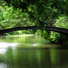
Vogelbrücke
2 km
Compesmühle
618 m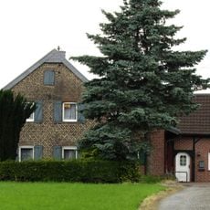
Am Waldfriedhof 20
1.3 km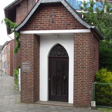
Antoniuskapelle
1.9 km
Ueddinger Straße 230–234
1.9 km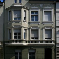
Bozener Straße 6
2.3 km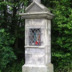
Wegestock Heerstraße 2
1.9 km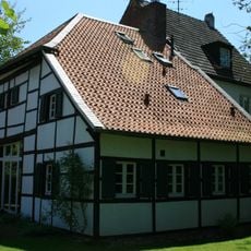
Engelblecker Straße 137
1.9 km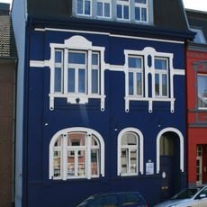
Neusser Straße 346
462 m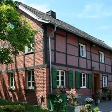
Klumpenstraße 45
1.8 km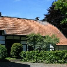
Dammer Straße 51
2.1 km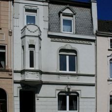
Krefelder Straße 115
1.8 km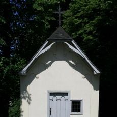
Drei Heister Kapelle
1.6 km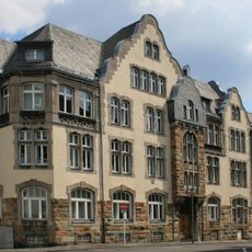
Croonallee 40
682 m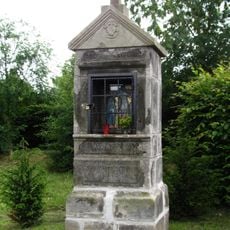
Wegestock Herrenshoffer Straße
2.1 km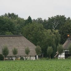
Ueddinger Straße 196
1 km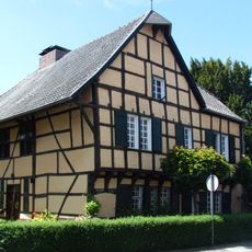
Kuhlenhof
2.2 km
Bruchstraße 92
1.9 km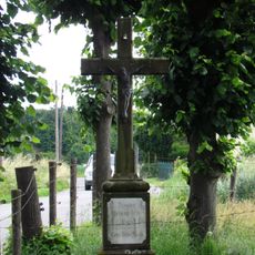
Wegekreuz Herzbroich
1.8 km
Bozener Straße 2b
2.2 km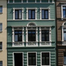
Bozener Straße 2
2.2 km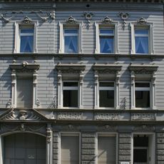
Bozener Straße 12
2.3 kmReviews
Visited this place? Tap the stars to rate it and share your experience / photos with the community! Try now! You can cancel it anytime.
Discover hidden gems everywhere you go!
From secret cafés to breathtaking viewpoints, skip the crowded tourist spots and find places that match your style. Our app makes it easy with voice search, smart filtering, route optimization, and insider tips from travelers worldwide. Download now for the complete mobile experience.

A unique approach to discovering new places❞
— Le Figaro
All the places worth exploring❞
— France Info
A tailor-made excursion in just a few clicks❞
— 20 Minutes