
Koentrup, Landschaftsschutzgebiet in Nordrhein-Westfalen
Location: Oelde
Inception: 1974
GPS coordinates: 51.85096,8.12524
Latest update: June 17, 2025 00:44
Burg Stromberg
7.8 km
Überführung Weg Hesseler
7.4 km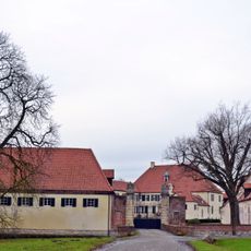
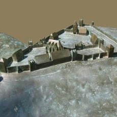
Haus Vornholz
3.4 km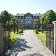
Schloss Möhler
5.9 km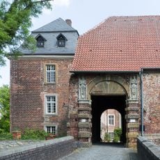
Haus Geist
2.3 km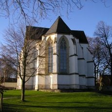
Wallfahrtskirche Hl. Kreuz
7.8 km
Museum für Westfälische Literatur
7.9 km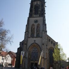
Saint John the Baptist Church
3.1 km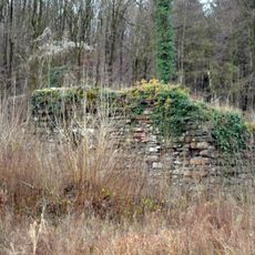
Ruine Nienburg
2.5 km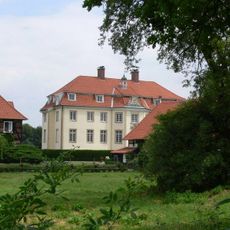
Haus Dieck
7.2 km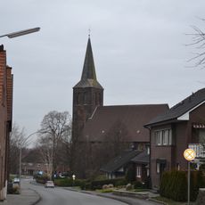
St. Margaretha
3.5 km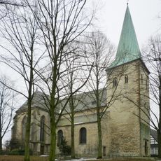
St. Jakobus
7.2 km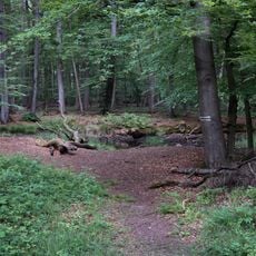
Geisterholz
1.8 km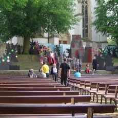
Burgbühne Stromberg
7.8 km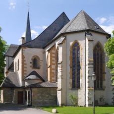
St. Laurentius (Clarholz)
7.3 km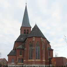
St. Laurentius
6.8 km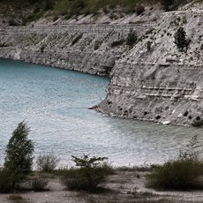
Steinbruch Anneliese
8.5 km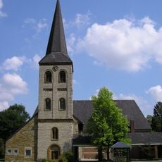
St. Vitus
4.4 km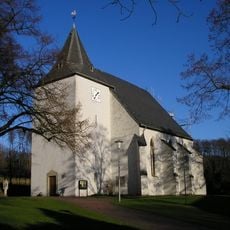
St. Lambertus
8.2 km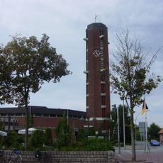
St. Johannes Baptist
8.9 km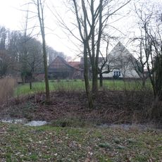
Haus Keuschenburg
3.7 km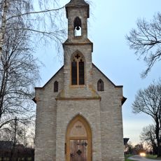
Schürenbrinkkapelle
4.6 km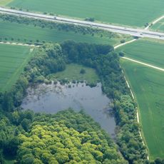
Steinbruch Vellern
8.4 km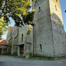
St. Pankratius
8.1 km
Beelener Mark
6.7 km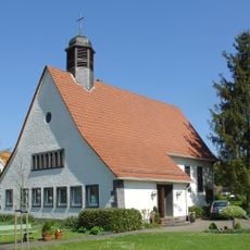
Gnadenkirche
7.6 km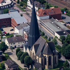
St. Josef
8.7 km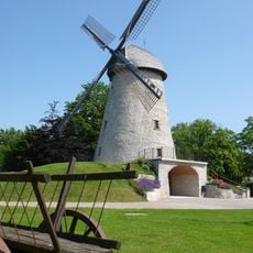
Windmühle Ennigerloh
7.5 kmReviews
Visited this place? Tap the stars to rate it and share your experience / photos with the community! Try now! You can cancel it anytime.
Discover hidden gems everywhere you go!
From secret cafés to breathtaking viewpoints, skip the crowded tourist spots and find places that match your style. Our app makes it easy with voice search, smart filtering, route optimization, and insider tips from travelers worldwide. Download now for the complete mobile experience.

A unique approach to discovering new places❞
— Le Figaro
All the places worth exploring❞
— France Info
A tailor-made excursion in just a few clicks❞
— 20 Minutes