Enable Location

We need your location to show you interesting places around you

Discover nearby places

Find interesting locations and hidden gems around you

Precise directions

Get accurate directions and distances to places

Your location is never shared with other users. It's only used when you tap the location button.

Oelde

Log in to your account

Start exploring — it's free

Trusted by 63,343 travelers worldwide

Continue with Google
Continue with Apple
or

We will send you a code to connect

By continuing, you accept our Terms and Conditions and our Privacy Policy

Check your inbox

We've sent a pincode in your inbox. Please enter the code below.

Discussion Reviews 3 Photos
41.8k Popularity

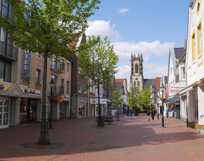
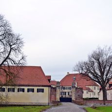
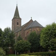
Oelde, Administrative town in Warendorf District, Germany

Oelde is a medium-sized town in Warendorf District, North Rhine-Westphalia, spread across five districts: Stromberg, Lette, Sünninghausen, Kirchspiel, and Keitlinghausen. The town lies in flat landscape and is linked by the Hamm-Minden railway line to the surrounding region.

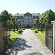
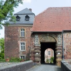
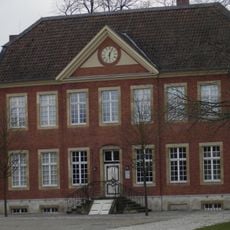
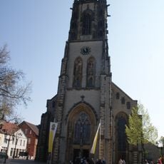
The settlement first appeared around 890 in documents from Werden monastery, recorded as 'Ulithi im Dreingau'. From this early foundation, it grew into an important trading town in Westphalia.

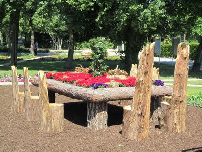
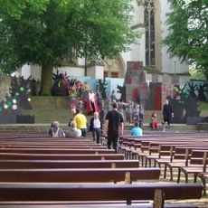
The Park of the Four Seasons grew from a 2001 horticultural exhibition and invites visitors to walk through seasonally designed areas. Locals enjoy the space to experience nature as it changes throughout the year.

Oelde station is served by Rhein-Weser-Express and Ems-Börde-Bahn trains with good connections across the region. Visitors should check train times before arriving to plan their visit more effectively.

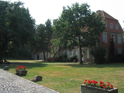
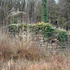
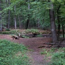
The nearby Geisterholz state forest hosted hunting events for diplomats and international representatives in the 1950s and 1960s. This history reflects the region's political importance during the Cold War era.

The community of curious travelers

AroundUs brings together thousands of curated places, local tips, and hidden gems, enriched daily by 60,000 contributors worldwide.

Start exploring
Elevation above the sea
90 m
Shares border with
Rheda-Wiedenbrück, Herzebrock-Clarholz, Beelen, Ennigerloh, Beckum, Wadersloh, Langenberg (Westphalia)
GPS coordinates
51.82583,8.14361
Latest update
December 17, 2025 08:00
Reviews
Share your experience

No review yet

Discussions
Start a discussion...

No discussion yet

« Oelde - Administrative town in Warendorf District, Germany » is provided by Around Us (aroundus.com). Images and texts are derived from Wikimedia project under a Creative Commons license. You are allowed to copy, distribute, and modify copies of this page, under the conditions set by the license, as long as this note is clearly visible.

Discover hidden gems everywhere you go!

From secret cafés to breathtaking viewpoints, skip the crowded tourist spots and find places that match your style. Our app makes it easy with voice search, smart filtering, route optimization, and insider tips from travelers worldwide. Download now for the complete mobile experience.

Around Us App Screenshot

A unique approach to discovering new places

Le Figaro

All the places worth exploring

France Info

A tailor-made excursion in just a few clicks

20 Minutes

Around Us
Travel Guide & Maps
Download

Send to your phone

QR Code
1

Open the camera app on your mobile.

2

Point at the QR code with your camera. A notification will appear.

3

Tap the notification to open the link.