Warendorf District, Administrative district in Münsterland, Germany.
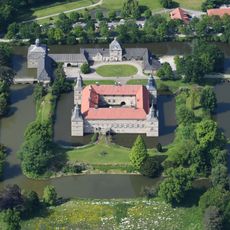
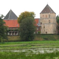
Warendorf District is an administrative area in North Rhine-Westphalia that stretches between the Ems and Lippe rivers and includes thirteen municipalities. Gentle hills, agricultural land and small town centers connected by tree-lined roads and field paths define the area.
The current administrative unit came into being in 1975 through the merger of the former Warendorf and Beckum districts during municipal reorganization. This reform brought together communities that had been managed separately and reorganized the regional structure.
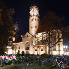
The name comes from the town of Warendorf, which lies along the small Ems river and gives its name to the whole administrative area. The towns throughout the district often carry references to the horse country of Münster, visible in regional festivals and daily life of the inhabitants.
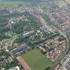
The administration has its headquarters in the town of Warendorf, where offices offer different services for residents of the region. Travelers by car will find well-signposted connections between the municipalities and to neighboring areas.
The area has a dense network of cycling paths that run through flat land and connect medieval town centers with farms and meadows. These routes often follow old trade roads and allow visitors to explore several places in a single day.
The community of curious travelers
AroundUs brings together thousands of curated places, local tips, and hidden gems, enriched daily by 60,000 contributors worldwide.