
Steinbachtal, forest reserves in Germany
Location: Regionalverband Saarbrücken
Inception: 1979
GPS coordinates: 49.27240,6.96213
Latest update: May 27, 2025 21:20
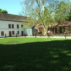
Schloss Neuhaus
2.5 km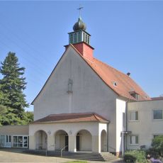
St. Antonius von Padua
2.2 km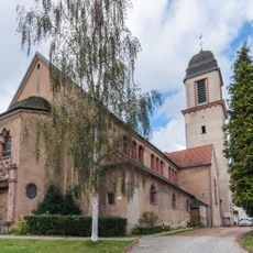
St. Marien
2.1 km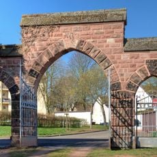
Alter Malstatter Friedhof
2.8 km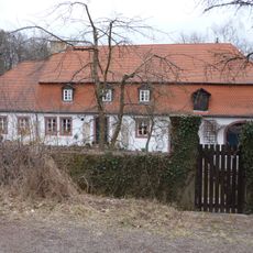
Jagdhaus Pfaffenkopf
2.3 km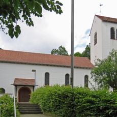
Evangelical church Rußhütte
2.4 km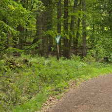
Heidhübel
2.1 km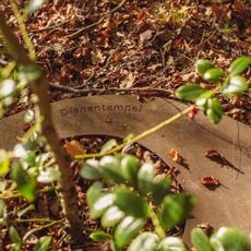
Temple of Diana
2.3 km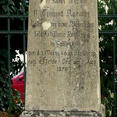
Grave of Traugott Roemer
2.3 km
Sternstall
2.7 km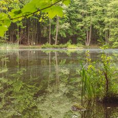
State forest Saarbrücken
1.2 km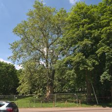
Köllertalstraße Sycamore
2.4 km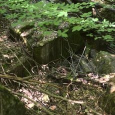
Regelbau 395
2.5 km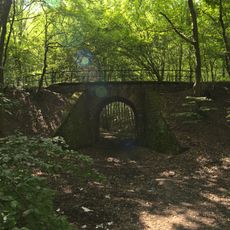
Eisenbahnbrücke
2.4 km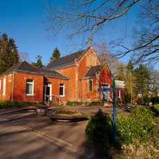
Einsegnungshalle
2.6 km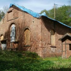
Winding engine house of Schacht Amelung I
641 m
Schacht 10
1.4 km
Emmersberg
2.3 km
Magazingebäude
834 m
Fischbachbad
2.4 km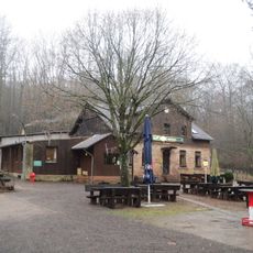
Naturfreundehaus Kirschheck
860 m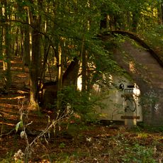
Batshed
983 m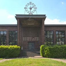
Lehrlingswerkstatt
2.8 km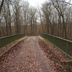
Bridge
2.1 km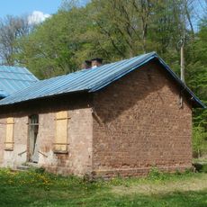
Werksteingebäude
633 m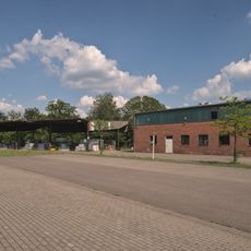
Holzlager
2.7 km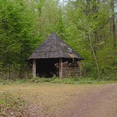
Wanderhütte
2.5 km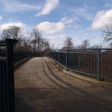
Bridge
139 mReviews
Visited this place? Tap the stars to rate it and share your experience / photos with the community! Try now! You can cancel it anytime.
Discover hidden gems everywhere you go!
From secret cafés to breathtaking viewpoints, skip the crowded tourist spots and find places that match your style. Our app makes it easy with voice search, smart filtering, route optimization, and insider tips from travelers worldwide. Download now for the complete mobile experience.

A unique approach to discovering new places❞
— Le Figaro
All the places worth exploring❞
— France Info
A tailor-made excursion in just a few clicks❞
— 20 Minutes