
Teerhütte, forest reserves in Germany
Location: Jerichower Land
Inception: 2002
GPS coordinates: 52.44931,12.14550
Latest update: June 16, 2025 18:02
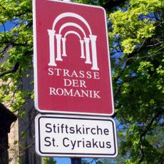
Romanesque Road
5.1 km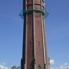
Wasserturm Genthin
4.5 km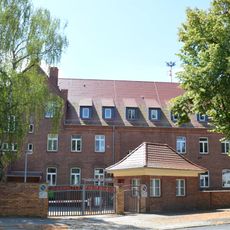
Johanniter Hospital
5 km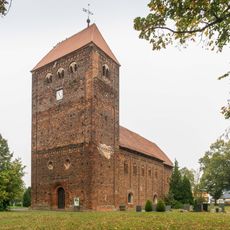
Dorfkirche Redekin
5.1 km
Zoo Zabakuck
4.6 km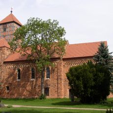
St. Annenkirche
5.8 km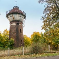
Wasserturm am Bahnhof
5.3 km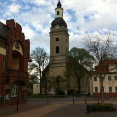
Stadtkirche St. Trinitatis
4.8 km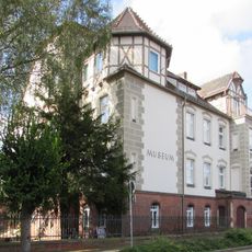
Kreismuseum Jerichower Land
5.2 km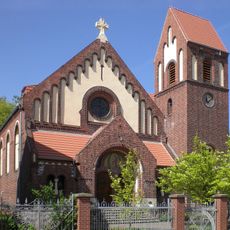
St. Marien
4.6 km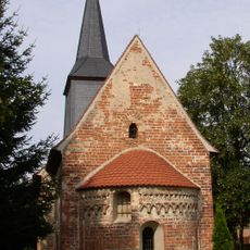
Dorfkirche Kleinwulkow
4 km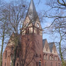
Dorfkirche Altenplathow
3.6 km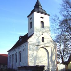
Dorfkirche Altenklitsche
5.7 km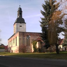
Kirchenruine Zabakuck
4.7 km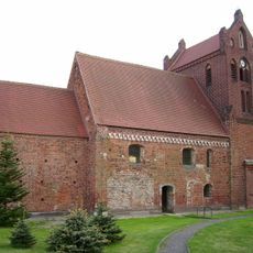
Dorfkirche Neuenklitsche
6.9 km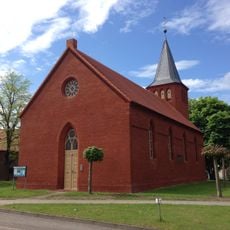
Church Kleinwusterwitz
6.9 km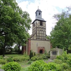
Dorfkirche Roßdorf
4.9 km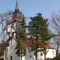
Dorfkirche Nielebock
5.5 km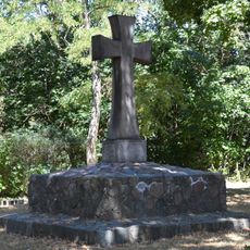
Kriegerdenkmal Altenplathow
3.6 km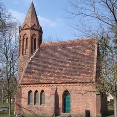
Gutskapelle Seedorf
6.9 km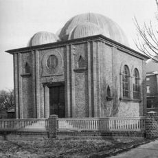
Synagoge Genthin
5.1 km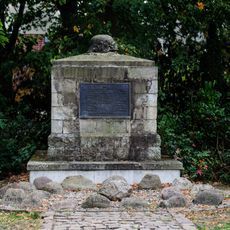
War memorial Roßdorf
5 km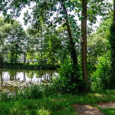
Pieschelscher Park
4.2 km
Genthin-Altenplathow memorial
5.4 km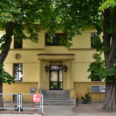
Stadt- und Kreisbibliothek 'Edlef Köppen'
5.1 km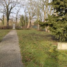
Jüdischer Friedhof
5.3 km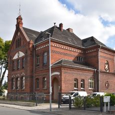
Albrecht Dürer School
5.3 km
Mühlenstraße 44
4.5 kmReviews
Visited this place? Tap the stars to rate it and share your experience / photos with the community! Try now! You can cancel it anytime.
Discover hidden gems everywhere you go!
From secret cafés to breathtaking viewpoints, skip the crowded tourist spots and find places that match your style. Our app makes it easy with voice search, smart filtering, route optimization, and insider tips from travelers worldwide. Download now for the complete mobile experience.

A unique approach to discovering new places❞
— Le Figaro
All the places worth exploring❞
— France Info
A tailor-made excursion in just a few clicks❞
— 20 Minutes