Enable Location

We need your location to show you interesting places around you

Discover nearby places

Find interesting locations and hidden gems around you

Precise directions

Get accurate directions and distances to places

Your location is never shared with other users. It's only used when you tap the location button.

Jerichower Land

Log in to your account

Start exploring — it's free

Trusted by 62,819 travelers worldwide

Continue with Google
Continue with Apple
or

We will send you a code to connect

By continuing, you accept our Terms and Conditions and our Privacy Policy

Check your inbox

We've sent a pincode in your inbox. Please enter the code below.

Jerichower Land, Rural district in Saxony-Anhalt, Germany

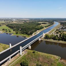
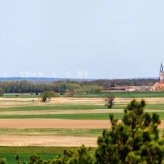
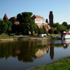
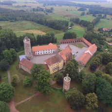
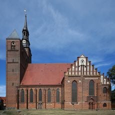
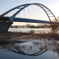
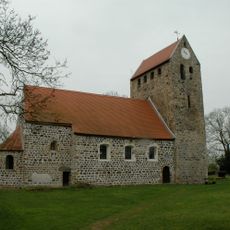
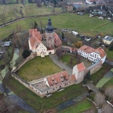
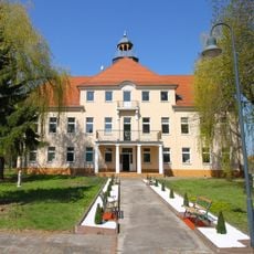
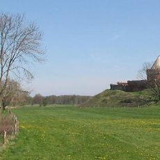
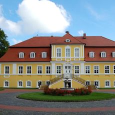
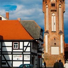
Jerichower Land is an administrative district in Saxony-Anhalt characterized by flat terrain dotted with farmland, patches of forest, and waterways. The Elbe River runs through the area, and the district contains several small towns and villages connected by roads and canals.

The district formed in 1994 when the former administrative areas of Burg and Genthin merged. This consolidation was part of broader administrative restructuring in eastern Germany following reunification.

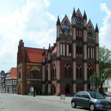
The name derives from the medieval town of Jericho, which served as an important trading center in the region. Today, local communities maintain strong ties to farming and waterway traditions that shape how people live and work here.

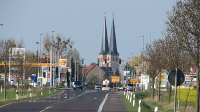
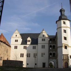
The district capital is Burg bei Magdeburg, which serves as a hub for reaching larger cities through road networks. Major routes provide connections to Berlin and Leipzig, making travel to urban centers relatively straightforward.

The area maintains three different vehicle registration codes - JL, BRG, and GNT - reflecting the historical identities of its former administrative areas. This quirk makes it possible to identify a car's origin immediately by looking at its license plate.

The community of curious travelers

AroundUs brings together thousands of curated places, local tips, and hidden gems, enriched daily by 60,000 contributors worldwide.

Start exploring
Location
Inception
1994
Capital city
Burg
Elevation above the sea
57 m
Shares border with
Potsdam-Mittelmark District, Salzlandkreis, Havelland District, Magdeburg, Stendal District, Börde district, Anhalt-Bitterfeld
Website
GPS coordinates
52.26000,12.03000
Latest update
December 17, 2025 09:21
« Jerichower Land - Rural district in Saxony-Anhalt, Germany » is provided by Around Us (aroundus.com). Images and texts are derived from Wikimedia project under a Creative Commons license. You are allowed to copy, distribute, and modify copies of this page, under the conditions set by the license, as long as this note is clearly visible.

Discover hidden gems everywhere you go!

From secret cafés to breathtaking viewpoints, skip the crowded tourist spots and find places that match your style. Our app makes it easy with voice search, smart filtering, route optimization, and insider tips from travelers worldwide. Download now for the complete mobile experience.

Around Us App Screenshot

A unique approach to discovering new places

Le Figaro

All the places worth exploring

France Info

A tailor-made excursion in just a few clicks

20 Minutes

Around Us
Travel Guide & Maps
Download

Send to your phone

QR Code
1

Open the camera app on your mobile.

2

Point at the QR code with your camera. A notification will appear.

3

Tap the notification to open the link.